Earthquake West Papua, Indonesia
Fri, 23 Jan 2026 01:02:22 GMT
Time4 days ago
Location
-3.7430, 140.0289
Depth
61.2 KM
Event Summary
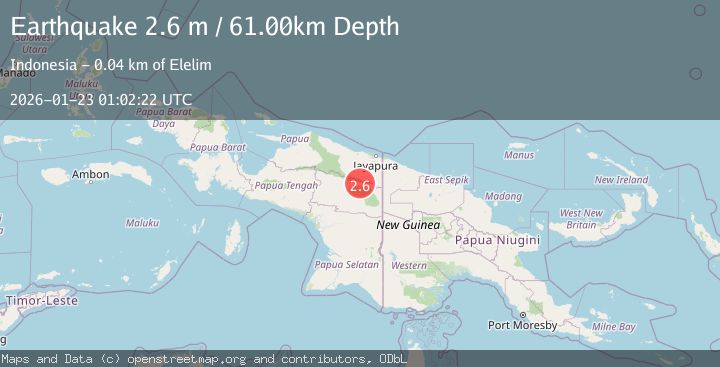
A 2.6 magnitude earthquake struck on West Papua, Indonesia, at Fri, 23 Jan 2026 01:02:22 GMT. Depth: 61.175507km. Reviewed by BMKG seismologists, this minor quake occurred at a magnitude type of M.
Magnitude
2.6
M
Source
BMKG
Intensity
-
Agency Reports
1 Sources| Source | Magnitude | Depth | Time |
|---|---|---|---|
| BMKGPrimary | 2.6 | 61 km | 4 days ago |
Earthquake Details
AutomaticEvent IDbmg2026bohd
Tsunami PotentialNo
Magnitude TypeM
Nearest Places
- Kampung Lulum5.2 km
- Elelim Indonesia9.2 km
- Kampung Kikila9.5 km
- Kano bivak10.6 km
- Kampung Paleromon13.5 km
Comments
Join the discussion about this event.
Latest Earthquakes
2.5Mag
Northern Sumatra, Indonesia
Time2 minutes ago
Depth5.00 km
SourceBMKG (Automatic)
2.4Mag
EASTERN TURKEY
Time12 minutes ago
Depth4.30 km
SourceKOERI (Automatic)
0.2Mag
6 km WNW of Cobb, CA
Time15 minutes ago
Depth1.56 km
SourceUSGS (Automatic)
1.6Mag
10 km SW of Furnace Creek, California
Time15 minutes ago
Depth7.46 km
SourceUSGS (Automatic)
1.4Mag
17 km NNE of Indio, CA
Time18 minutes ago
Depth3.80 km
SourceUSGS (Automatic)
Nearby Earthquakes
2.8Mag
West Papua, Indonesia
Time3 days ago
Depth10.00 km
SourceBMKG (Automatic)
2.6Mag
West Papua, Indonesia
Time2 days ago
Depth22.39 km
SourceBMKG (Automatic)
2.5Mag
West Papua, Indonesia
Time4 days ago
Depth10.00 km
SourceBMKG (Automatic)
3.1Mag
West Papua, Indonesia
Time5 days ago
Depth41.57 km
SourceBMKG (Automatic)
3.7Mag
West Papua, Indonesia
Time9 hours ago
Depth73.14 km
SourceBMKG (Automatic)