Earthquake West Papua, Indonesia
Tue, 27 Jan 2026 00:54:37 GMT
Time11 hours ago
Location
-3.4301, 140.7471
Depth
73.1 KM
Event Summary
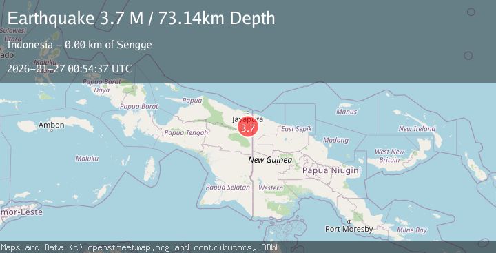
A 3.7 magnitude earthquake struck on West Papua, Indonesia, at Tue, 27 Jan 2026 00:54:37 GMT. Depth: 73.138969km. Reviewed by BMKG seismologists, this minor quake occurred at a magnitude type of M.
Magnitude
3.7
M
Source
BMKG
Intensity
-
Agency Reports
1 Sources| Source | Magnitude | Depth | Time |
|---|---|---|---|
| BMKGPrimary | 3.7 | 73 km | 11 hours ago |
Earthquake Details
AutomaticEvent IDbmg2026bvow
Tsunami PotentialNo
Magnitude TypeM
Nearest Places
- Sengge3.7 km
- Pulau-kalong4.3 km
- Senggeh Airport7.8 km
- Kampung Woslay8.5 km
- Kampung Warlef8.7 km
Comments
Join the discussion about this event.
Latest Earthquakes
3.2Mag
OFF W. COAST OF S. ISLAND, N.Z.
Time11 hours ago
Depth30.60 km
SourceGNS (Automatic)
4.4Mag
COOK STRAIT, NEW ZEALAND
Time11 hours ago
Depth24.80 km
SourceGNS (Automatic)
3.7Mag
Talaud Islands, Indonesia
Time11 hours ago
Depth129.80 km
SourceBMKG (Automatic)
0.8Mag
9 km WNW of The Geysers, CA
Time11 hours ago
Depth1.50 km
SourceUSGS (Automatic)
5.0Mag
NEAR EAST COAST OF KAMCHATKA
Time11 hours ago
Depth48.00 km
SourceEMSC (Automatic)
Nearby Earthquakes
3.1Mag
West Papua, Indonesia
Time5 days ago
Depth41.57 km
SourceBMKG (Automatic)
2.5Mag
West Papua, Indonesia
Time4 days ago
Depth10.00 km
SourceBMKG (Automatic)
2.6Mag
West Papua, Indonesia
Time2 days ago
Depth22.39 km
SourceBMKG (Automatic)
2.3Mag
Near North Coast of West Papua
Time4 days ago
Depth10.00 km
SourceBMKG (Automatic)
2.8Mag
West Papua, Indonesia
Time3 days ago
Depth10.00 km
SourceBMKG (Automatic)