Earthquake West Papua Region, Indonesia
Fri, 23 Jan 2026 07:23:50 GMT
Time4 days ago
Location
-0.6862, 131.4946
Depth
10.0 KM
Event Summary
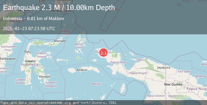
A 2.3 magnitude earthquake struck on West Papua Region, Indonesia, at Fri, 23 Jan 2026 07:23:50 GMT. Depth: 10km. Reviewed by BMKG seismologists, this minor quake occurred at a magnitude type of M.
Magnitude
2.3
M
Source
BMKG
Intensity
-
Agency Reports
1 Sources| Source | Magnitude | Depth | Time |
|---|---|---|---|
| BMKGPrimary | 2.3 | 10 km | 4 days ago |
Earthquake Details
AutomaticEvent IDbmg2026bots
Tsunami PotentialNo
Magnitude TypeM
Nearest Places
- Tanjung Elpapa5.4 km
- Tanjung Dore7.2 km
- Kelurahan Makbon7.2 km
- Kampung Teluk Dore7.7 km
- Makbon8.4 km
Comments
Join the discussion about this event.
Latest Earthquakes
2.7Mag
West Papua Region, Indonesia
Time7 minutes ago
Depth14.59 km
SourceBMKG (Automatic)
2.1Mag
Flores Region, Indonesia
Time9 minutes ago
Depth10.00 km
SourceBMKG (Automatic)
3.7Mag
LA RIOJA, ARGENTINA
Time17 minutes ago
Depth119.00 km
SourceNSNA (Automatic)
2.2Mag
Savu Sea
Time18 minutes ago
Depth56.18 km
SourceBMKG (Automatic)
0.7Mag
9 km NW of The Geysers, CA
Time21 minutes ago
Depth1.51 km
SourceUSGS (Automatic)
Nearby Earthquakes
2.2Mag
West Papua Region, Indonesia
Time4 days ago
Depth10.00 km
SourceBMKG (Automatic)
2.2Mag
West Papua Region, Indonesia
Time4 days ago
Depth10.00 km
SourceBMKG (Automatic)
2.3Mag
West Papua Region, Indonesia
Time19 hours ago
Depth10.00 km
SourceBMKG (Automatic)
2.6Mag
West Papua Region, Indonesia
Time6 days ago
Depth10.00 km
SourceBMKG (Automatic)
2.5Mag
West Papua Region, Indonesia
Time4 days ago
Depth10.00 km
SourceBMKG (Automatic)