Earthquake West Papua, Indonesia
Fri, 23 Jan 2026 19:29:50 GMT
Time4 days ago
Location
-4.3757, 139.1650
Depth
10.0 KM
Event Summary
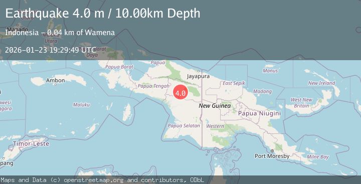
A 4.0 magnitude earthquake struck on West Papua, Indonesia, at Fri, 23 Jan 2026 19:29:50 GMT. Depth: 10km. Reviewed by BMKG seismologists, this light quake occurred at a magnitude type of M.
Magnitude
4.0
M
Source
BMKG
Intensity
-
Agency Reports
1 Sources| Source | Magnitude | Depth | Time |
|---|---|---|---|
| BMKGPrimary | 4.0 | 10 km | 4 days ago |
Earthquake Details
AutomaticEvent IDbmg2026bprr
Tsunami PotentialNo
Magnitude TypeM
Nearest Places
- Kampung Hagawen0.8 km
- Kampung Hanoasuok1.0 km
- Kampung Molama2.5 km
- Kampung Weasi3.0 km
- Kampung Libuk3.1 km
Comments
Join the discussion about this event.
Latest Earthquakes
1.7Mag
4 km NNE of Chickaloon, Alaska
Time4 minutes ago
Depth37.60 km
SourceUSGS (Automatic)
1.0Mag
6 km WSW of Anza, CA
Time13 minutes ago
Depth6.26 km
SourceUSGS (Automatic)
2.5Mag
37 km WSW of Anchor Point, Alaska
Time28 minutes ago
Depth93.10 km
SourceUSGS (Automatic)
1.4Mag
13 km WSW of Stanton, Texas
Time34 minutes ago
Depth4.08 km
SourceUSGS (Automatic)
2.8Mag
Seram, Indonesia
Time34 minutes ago
Depth10.00 km
SourceBMKG (Automatic)
Nearby Earthquakes
2.6Mag
West Papua, Indonesia
Time5 days ago
Depth61.18 km
SourceBMKG (Automatic)
2.7Mag
PAPUA, INDONESIA
Time18 hours ago
Depth10.00 km
SourceBMKG (Automatic)
2.8Mag
West Papua, Indonesia
Time4 days ago
Depth10.00 km
SourceBMKG (Automatic)
3.4Mag
West Papua, Indonesia
Time6 hours ago
Depth10.00 km
SourceBMKG (Automatic)
2.6Mag
West Papua, Indonesia
Time3 days ago
Depth22.39 km
SourceBMKG (Automatic)