Earthquake West Papua, Indonesia
Wed, 28 Jan 2026 03:07:37 GMT
Time5 hours ago
Location
-4.6120, 140.3800
Depth
10.0 KM
Event Summary
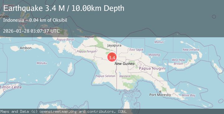
A 3.4 magnitude earthquake struck on West Papua, Indonesia, at Wed, 28 Jan 2026 03:07:37 GMT. Depth: 10km. Reviewed by BMKG seismologists, this minor quake occurred at a magnitude type of M.
Magnitude
3.4
M
Source
BMKG
Intensity
-
Agency Reports
1 Sources| Source | Magnitude | Depth | Time |
|---|---|---|---|
| BMKGPrimary | 3.4 | 10 km | 5 hours ago |
Earthquake Details
AutomaticEvent IDbmg2026bxou
Tsunami PotentialNo
Magnitude TypeM
Nearest Places
- Kampung Markum6.2 km
- Kampung Tupoplyom7.0 km
- Kampung Peneli8.6 km
- Kampung Borban10.4 km
- Kampung Teli11.4 km
Comments
Join the discussion about this event.
Latest Earthquakes
1.2Mag
3 km NW of Glen Avon, CA
Time5 hours ago
Depth9.24 km
SourceUSGS (Automatic)
5.2Mag
Ascension Island region
Time5 hours ago
Depth10.00 km
SourceUSGS
1.9Mag
30 km SSE of Chickaloon, Alaska
Time5 hours ago
Depth18.60 km
SourceUSGS (Automatic)
1.5Mag
6 km NW of The Geysers, CA
Time5 hours ago
Depth2.85 km
SourceUSGS (Automatic)
2.8Mag
Sulawesi, Indonesia
Time5 hours ago
Depth48.19 km
SourceBMKG (Automatic)
Nearby Earthquakes
2.8Mag
West Papua, Indonesia
Time4 days ago
Depth10.00 km
SourceBMKG (Automatic)
2.6Mag
West Papua, Indonesia
Time5 days ago
Depth61.18 km
SourceBMKG (Automatic)
4.0Mag
West Papua, Indonesia
Time4 days ago
Depth10.00 km
SourceBMKG (Automatic)
3.7Mag
West Papua, Indonesia
Time1 day ago
Depth73.14 km
SourceBMKG (Automatic)
2.6Mag
West Papua, Indonesia
Time3 days ago
Depth22.39 km
SourceBMKG (Automatic)