Earthquake West Papua Region, Indonesia
Sat, 24 Jan 2026 04:00:57 GMT
Time3 days ago
Location
-0.9266, 133.9647
Depth
21.7 KM
Event Summary
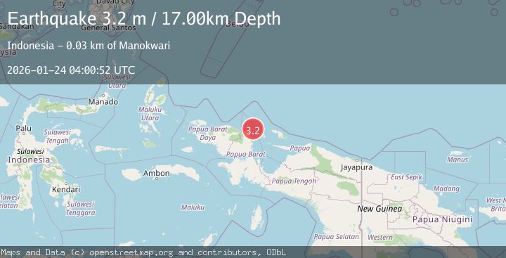
A 3.2 magnitude earthquake struck on West Papua Region, Indonesia, at Sat, 24 Jan 2026 04:00:57 GMT. Depth: 21.741526km. Reviewed by BMKG seismologists, this minor quake occurred at a magnitude type of M.
Magnitude
3.2
M
Source
BMKG
Intensity
-
Agency Reports
1 Sources| Source | Magnitude | Depth | Time |
|---|---|---|---|
| BMKGPrimary | 3.2 | 17 km | 3 days ago |
Earthquake Details
AutomaticEvent IDbmg2026bqin
Tsunami PotentialNo
Magnitude TypeM
Nearest Places
- Andai River1.9 km
- Kampung Wasai2.4 km
- Umbui2.5 km
- Kampung Waluri2.8 km
- Distrik Manokwari Selatan3.2 km
Comments
Join the discussion about this event.
Latest Earthquakes
3.1Mag
HAITI REGION
Time4 minutes ago
Depth7.00 km
SourceAYIT (Automatic)
2.1Mag
WESTERN TEXAS
Time21 minutes ago
Depth4.40 km
SourceTX (Automatic)
1.3Mag
20 km ENE of Little Lake, CA
Time22 minutes ago
Depth1.84 km
SourceUSGS (Automatic)
2.9Mag
South of Java, Indonesia
Time28 minutes ago
Depth3.21 km
SourceBMKG (Automatic)
2.0Mag
WESTERN TURKEY
Time30 minutes ago
Depth6.70 km
SourceAFAD (Automatic)
Nearby Earthquakes
2.4Mag
West Papua Region, Indonesia
Time20 hours ago
Depth10.00 km
SourceBMKG (Automatic)
2.5Mag
West Papua Region, Indonesia
Time3 days ago
Depth12.18 km
SourceBMKG (Automatic)
2.1Mag
West Papua Region, Indonesia
Time5 days ago
Depth38.83 km
SourceBMKG (Automatic)
2.5Mag
West Papua Region, Indonesia
Time9 hours ago
Depth32.44 km
SourceBMKG (Automatic)
3.4Mag
West Papua Region, Indonesia
Time2 hours ago
Depth10.00 km
SourceBMKG (Automatic)