Earthquake West Papua Region, Indonesia
Sat, 24 Jan 2026 18:05:18 GMT
Time2 days ago
Location
-4.3871, 134.3597
Depth
10.0 KM
Event Summary
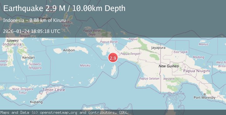
A 2.9 magnitude earthquake struck on West Papua Region, Indonesia, at Sat, 24 Jan 2026 18:05:18 GMT. Depth: 10km. Reviewed by BMKG seismologists, this minor quake occurred at a magnitude type of M.
Magnitude
2.9
M
Source
BMKG
Intensity
-
Agency Reports
1 Sources| Source | Magnitude | Depth | Time |
|---|---|---|---|
| BMKGPrimary | 2.9 | 10 km | 2 days ago |
Earthquake Details
AutomaticEvent IDbmg2026brkj
Tsunami PotentialNo
Magnitude TypeM
Nearest Places
- Tanjung Nambima38.1 km
- Pulau Salakula39.8 km
- Tanjung Bohia40.1 km
- Tahiya41.1 km
- Tanjung Awuro41.6 km
Comments
Join the discussion about this event.
Latest Earthquakes
4.3Mag
Sulawesi, Indonesia
Time15 hours ago
Depth10.00 km
SourceBMKG (Automatic)
2.6Mag
Minahassa Peninsula, Sulawesi
Time15 hours ago
Depth118.00 km
SourceBMKG (Automatic)
2.8Mag
South of Bali, Indonesia
Time15 hours ago
Depth10.00 km
SourceBMKG (Automatic)
1.7Mag
31 km SE of Denali National Park, Alaska
Time15 hours ago
Depth0.60 km
SourceUSGS (Automatic)
2.2Mag
WESTERN TURKEY
Time15 hours ago
Depth14.90 km
SourceKOERI (Automatic)
Nearby Earthquakes
3.8Mag
NEAR S COAST OF PAPUA, INDONESIA
Time4 days ago
Depth54.00 km
SourceBMKG (Automatic)
3.0Mag
West Papua Region, Indonesia
Time4 days ago
Depth13.42 km
SourceBMKG (Automatic)
3.9Mag
Aru Islands Region, Indonesia
Time2 days ago
Depth32.89 km
SourceBMKG (Automatic)
2.4Mag
West Papua Region, Indonesia
Time5 days ago
Depth7.00 km
SourceBMKG (Automatic)
3.2Mag
West Papua Region, Indonesia
Time6 days ago
Depth10.00 km
SourceBMKG (Automatic)