Earthquake Near North Coast of West Papua
Thu, 22 Jan 2026 01:06:07 GMT
Time5 days ago
Location
-2.3327, 140.1933
Depth
18.1 KM
Event Summary
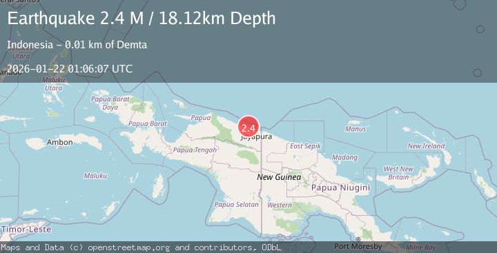
A 2.4 magnitude earthquake struck on Near North Coast of West Papua, at Thu, 22 Jan 2026 01:06:07 GMT. Depth: 18.118645km. Reviewed by BMKG seismologists, this minor quake occurred at a magnitude type of M.
Magnitude
2.4
M
Source
BMKG
Intensity
-
Agency Reports
1 Sources| Source | Magnitude | Depth | Time |
|---|---|---|---|
| BMKGPrimary | 2.4 | 18 km | 5 days ago |
Earthquake Details
AutomaticEvent IDbmg2026bmlt
Tsunami PotentialNo
Magnitude TypeM
Nearest Places
- Salean Segara2.1 km
- Muris Kecil3.5 km
- Kampung Yougapsa4.7 km
- Tanjung Ande4.8 km
- Pulau Besar4.8 km
Comments
Join the discussion about this event.
Latest Earthquakes
2.1Mag
WESTERN TEXAS
Time20 minutes ago
Depth4.40 km
SourceTX (Automatic)
1.3Mag
20 km ENE of Little Lake, CA
Time20 minutes ago
Depth1.84 km
SourceUSGS (Automatic)
2.9Mag
South of Java, Indonesia
Time27 minutes ago
Depth3.21 km
SourceBMKG (Automatic)
2.0Mag
WESTERN TURKEY
Time28 minutes ago
Depth6.70 km
SourceAFAD (Automatic)
2.1Mag
6 km NNW of The Geysers, CA
Time39 minutes ago
Depth2.52 km
SourceUSGS (Automatic)
Nearby Earthquakes
2.6Mag
Near North Coast of West Papua
Time6 days ago
Depth10.00 km
SourceBMKG (Automatic)
2.1Mag
Near North Coast of West Papua
Time1 day ago
Depth10.56 km
SourceBMKG (Automatic)
2.8Mag
Near North Coast of West Papua
Time2 days ago
Depth12.25 km
SourceBMKG (Automatic)
2.2Mag
Near North Coast of West Papua
Time4 days ago
Depth10.00 km
SourceBMKG (Automatic)
2.5Mag
Near North Coast of West Papua
Time1 hour ago
Depth10.00 km
SourceBMKG (Automatic)