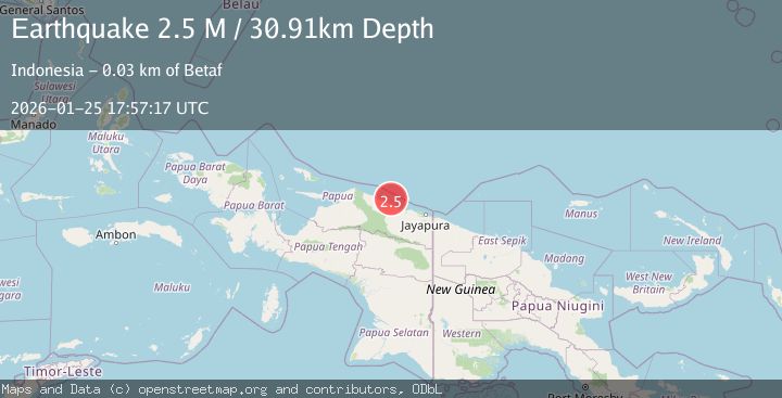
Earthquake Near North Coast of West Papua
Sun, 25 Jan 2026 17:57:17 GMT
Time2 days ago
Location
-1.9044, 139.3393
Depth
30.9 KM
Event Summary
A 2.5 magnitude earthquake struck on Near North Coast of West Papua, at Sun, 25 Jan 2026 17:57:17 GMT. Depth: 30.914806km. Reviewed by BMKG seismologists, this minor quake occurred at a magnitude type of M.
Magnitude
2.5
M
Source
BMKG
Intensity
-
Agency Reports
1 Sources| Source | Magnitude | Depth | Time |
|---|---|---|---|
| BMKGPrimary | 2.5 | 31 km | 2 days ago |
Earthquake Details
AutomaticEvent IDbmg2026btfp
Tsunami PotentialNo
Magnitude TypeM
Nearest Places
- Ansudu10.7 km
- Pulau Yamna13.2 km
- Pulau Mademo17.3 km
- Jamna24.8 km
- Sosakar25.0 km
Comments
Join the discussion about this event.
Latest Earthquakes
2.6Mag
Minahassa Peninsula, Sulawesi
Time1 day ago
Depth118.00 km
SourceBMKG (Automatic)
2.8Mag
South of Bali, Indonesia
Time1 day ago
Depth10.00 km
SourceBMKG (Automatic)
1.7Mag
31 km SE of Denali National Park, Alaska
Time1 day ago
Depth0.60 km
SourceUSGS (Automatic)
2.2Mag
WESTERN TURKEY
Time1 day ago
Depth14.90 km
SourceKOERI (Automatic)
2.2Mag
13 km NW of Ferry, Alaska
Time1 day ago
Depth139.50 km
SourceUSGS (Automatic)
Nearby Earthquakes
2.5Mag
Near North Coast of West Papua
Time3 days ago
Depth10.00 km
SourceBMKG (Automatic)
3.2Mag
Near North Coast of West Papua
Time6 days ago
Depth25.99 km
SourceBMKG (Automatic)
2.7Mag
West Papua, Indonesia
Time1 day ago
Depth73.44 km
SourceBMKG (Automatic)
4.4Mag
West Papua, Indonesia
Time6 days ago
Depth23.70 km
SourceBMKG (Automatic)
2.2Mag
Near North Coast of West Papua
Time4 days ago
Depth10.00 km
SourceBMKG (Automatic)