Earthquake 34 km NE of Paxson, Alaska
Tue, 27 Jan 2026 14:51:34 GMT
Time2 hours ago
Location
63.3100, -145.1390
Depth
11.6 KM
Event Summary
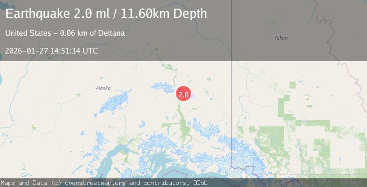
A 2.0 magnitude earthquake struck on 34 km NE of Paxson, Alaska, at Tue, 27 Jan 2026 14:51:34 GMT. Depth: 11.6km. Reviewed by USGS seismologists, this minor quake occurred at a magnitude type of ml.
Magnitude
2.0
ml
Source
USGS
Intensity
-
Agency Reports
1 Sources| Source | Magnitude | Depth | Time |
|---|---|---|---|
| USGSPrimary | 2.0 | 12 km | 2 hours ago |
Earthquake Details
AutomaticEvent IDusgs_ak2026bwwlen
Tsunami PotentialNo
Magnitude Typeml
Nearest Places
- Mount Gakona2.3 km
- Thorkona3.6 km
- The Thorn5.4 km
- Johnson Glacier5.5 km
- Icefall Peak10.9 km
Comments
Join the discussion about this event.
Latest Earthquakes
2.4Mag
Sumba Region, Indonesia
Time2 hours ago
Depth53.59 km
SourceBMKG (Automatic)
2.5Mag
Halmahera, Indonesia
Time2 hours ago
Depth132.87 km
SourceBMKG (Automatic)
1.2Mag
10 km WSW of Stanton, Texas
Time2 hours ago
Depth4.21 km
SourceUSGS (Automatic)
1.1Mag
WESTERN TURKEY
Time2 hours ago
Depth7.00 km
SourceAFAD (Automatic)
1.5Mag
CENTRAL TURKEY
Time2 hours ago
Depth12.40 km
SourceEMSC (Automatic)
Nearby Earthquakes
2.1Mag
39 km SSW of Dry Creek, Alaska
Time1 day ago
Depth5.00 km
SourceUSGS (Automatic)
1.9Mag
30 km NNE of Paxson, Alaska
Time4 days ago
Depth0.40 km
SourceUSGS (Automatic)
1.5Mag
85 km ESE of Cantwell, Alaska
Time2 days ago
Depth65.10 km
SourceUSGS (Automatic)
1.4Mag
70 km ESE of Cantwell, Alaska
Time5 days ago
Depth9.30 km
SourceUSGS (Automatic)
1.6Mag
59 km ESE of Denali Park, Alaska
Time5 days ago
Depth0.60 km
SourceUSGS (Automatic)