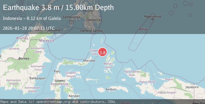
Earthquake Northern Molucca Sea
Wed, 28 Jan 2026 20:07:13 GMT
Time1 hour ago
Location
2.3978, 126.9120
Depth
10.0 KM
Event Summary
A 3.6 magnitude earthquake struck on Northern Molucca Sea, at Wed, 28 Jan 2026 20:07:13 GMT. Depth: 10km. Reviewed by BMKG seismologists, this minor quake occurred at a magnitude type of M.
Magnitude
3.6
M
Source
BMKG
Intensity
-
Agency Reports
1 Sources| Source | Magnitude | Depth | Time |
|---|---|---|---|
| BMKGPrimary | 3.6 | 10 km | 1 hour ago |
Earthquake Details
AutomaticEvent IDbmg2026bywk
Tsunami PotentialNo
Magnitude TypeM
Nearest Places
- Pulau Laba91.5 km
- Tanjung Gurama92.7 km
- Pulau Deherete93.2 km
- Desa Jikolamo94.1 km
- Jikolamo94.8 km
Comments
Join the discussion about this event.
Latest Earthquakes
3.9Mag
PERU-ECUADOR BORDER REGION
Time1 hour ago
Depth69.00 km
SourceQUI (Automatic)
1.5Mag
0 km SW of Loma Linda, CA
Time1 hour ago
Depth15.13 km
SourceUSGS (Automatic)
2.3Mag
Minahassa Peninsula, Sulawesi
Time1 hour ago
Depth13.37 km
SourceBMKG (Automatic)
4.4Mag
Mindanao, Philippines
Time1 hour ago
Depth10.00 km
SourceBMKG (Automatic)
3.4Mag
WESTERN TURKEY
Time1 hour ago
Depth9.60 km
SourceAFAD (Automatic)
Nearby Earthquakes
3.5Mag
Northern Molucca Sea
Time4 days ago
Depth17.49 km
SourceBMKG (Automatic)
3.2Mag
Northern Molucca Sea
Time6 days ago
Depth10.37 km
SourceBMKG (Automatic)
3.5Mag
Northern Molucca Sea
Time1 week ago
Depth10.00 km
SourceBMKG (Automatic)
3.3Mag
Northern Molucca Sea
Time17 hours ago
Depth4.83 km
SourceBMKG (Automatic)
3.0Mag
Northern Molucca Sea
Time3 days ago
Depth100.85 km
SourceBMKG (Automatic)