Earthquake Near North Coast of West Papua
Wed, 28 Jan 2026 23:15:18 GMT
Time1 hour ago
Location
-2.2692, 140.4640
Depth
10.0 KM
Event Summary
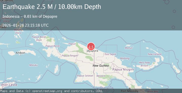
A 2.5 magnitude earthquake struck on Near North Coast of West Papua, at Wed, 28 Jan 2026 23:15:18 GMT. Depth: 10km. Reviewed by BMKG seismologists, this minor quake occurred at a magnitude type of M.
Magnitude
2.5
M
Source
BMKG
Intensity
-
Agency Reports
1 Sources| Source | Magnitude | Depth | Time |
|---|---|---|---|
| BMKGPrimary | 2.5 | 10 km | 1 hour ago |
Earthquake Details
AutomaticEvent IDbmg2026bzcp
Tsunami PotentialNo
Magnitude TypeM
Nearest Places
- Jafase15.9 km
- Doromena16.8 km
- Sapari17.9 km
- Yaona18.7 km
- Tanjung Tanahmerah19.1 km
Comments
Join the discussion about this event.
Latest Earthquakes
0.3Mag
9 km WNW of The Geysers, CA
Time1 hour ago
Depth1.24 km
SourceUSGS (Automatic)
1.9Mag
0 km SW of Volcano, Hawaii
Time2 hours ago
Depth27.59 km
SourceUSGS (Automatic)
2.6Mag
KODIAK ISLAND REGION, ALASKA
Time2 hours ago
Depth20.30 km
SourceAK (Automatic)
2.5Mag
WESTERN TURKEY
Time2 hours ago
Depth4.20 km
SourceKOERI (Automatic)
1.3Mag
EASTERN TURKEY
Time2 hours ago
Depth12.60 km
SourceAFAD (Automatic)
Nearby Earthquakes
2.8Mag
Near North Coast of West Papua
Time4 days ago
Depth12.25 km
SourceBMKG (Automatic)
2.5Mag
Near North Coast of West Papua
Time1 day ago
Depth10.00 km
SourceBMKG (Automatic)
2.6Mag
Near North Coast of West Papua
Time1 week ago
Depth10.00 km
SourceBMKG (Automatic)
2.1Mag
Near North Coast of West Papua
Time3 days ago
Depth10.00 km
SourceBMKG (Automatic)
2.8Mag
Near North Coast of West Papua
Time6 days ago
Depth10.00 km
SourceBMKG (Automatic)