Earthquake Minahassa Peninsula, Sulawesi
Thu, 29 Jan 2026 01:45:56 GMT
Time2 hours ago
Location
0.9407, 123.6018
Depth
71.8 KM
Event Summary
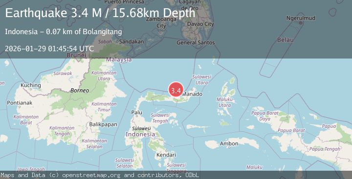
A 3.2 magnitude earthquake struck on Minahassa Peninsula, Sulawesi, at Thu, 29 Jan 2026 01:45:56 GMT. Depth: 71.793381km. Reviewed by BMKG seismologists, this minor quake occurred at a magnitude type of M.
Magnitude
3.2
M
Source
BMKG
Intensity
-
Agency Reports
1 Sources| Source | Magnitude | Depth | Time |
|---|---|---|---|
| BMKGPrimary | 3.2 | 72 km | 2 hours ago |
Earthquake Details
AutomaticEvent IDbmg2026bzhp
Tsunami PotentialNo
Magnitude TypeM
Nearest Places
- Sungai Ilanga0.8 km
- Desa Busisingo Utara4.4 km
- Impodnya Binta4.5 km
- Desa Mokusato4.7 km
- Ongkako Sangkub4.8 km
Comments
Join the discussion about this event.
Latest Earthquakes
1.2Mag
15 km W of Johannesburg, CA
Time2 hours ago
Depth5.56 km
SourceUSGS (Automatic)
1.0Mag
8 km WNW of Cobb, CA
Time2 hours ago
Depth1.94 km
SourceUSGS (Automatic)
4.6Mag
NEAR EAST COAST OF HONSHU, JAPAN
Time2 hours ago
Depth10.00 km
SourceNEIC (Automatic)
0.8Mag
21 km NNE of Indio, CA
Time3 hours ago
Depth5.73 km
SourceUSGS (Automatic)
1.7Mag
16 km NNW of Toyah, Texas
Time3 hours ago
Depth6.68 km
SourceUSGS (Automatic)
Nearby Earthquakes
2.4Mag
Minahassa Peninsula, Sulawesi
Time1 day ago
Depth263.78 km
SourceBMKG (Automatic)
3.1Mag
Minahassa Peninsula, Sulawesi
Time8 hours ago
Depth13.37 km
SourceBMKG (Automatic)
3.9Mag
Minahassa Peninsula, Sulawesi
Time1 day ago
Depth203.73 km
SourceBMKG (Automatic)
2.8Mag
Minahassa Peninsula, Sulawesi
Time1 day ago
Depth25.02 km
SourceBMKG (Automatic)
2.9Mag
Minahassa Peninsula, Sulawesi
Time3 days ago
Depth235.33 km
SourceBMKG (Automatic)