Earthquake Minahassa Peninsula, Sulawesi
Thu, 29 Jan 2026 05:42:29 GMT
Time1 hour ago
Location
-0.2908, 123.7248
Depth
9.8 KM
Event Summary
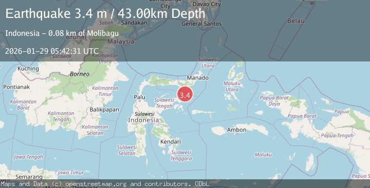
A 3.3 magnitude earthquake struck on Minahassa Peninsula, Sulawesi, at Thu, 29 Jan 2026 05:42:29 GMT. Depth: 9.847515km. Reviewed by BMKG seismologists, this minor quake occurred at a magnitude type of M.
Magnitude
3.3
M
Source
BMKG
Intensity
-
Agency Reports
1 Sources| Source | Magnitude | Depth | Time |
|---|---|---|---|
| BMKGPrimary | 3.3 | 10 km | 1 hour ago |
Earthquake Details
AutomaticEvent IDbmg2026bzpk
Tsunami PotentialNo
Magnitude TypeM
Nearest Places
- Gorontalo Basin30.9 km
- Tanjung Lonsuit53.5 km
- Tanjung Lonsom53.7 km
- Pulau Kosamba54.0 km
- Pulau Toosan54.6 km
Comments
Join the discussion about this event.
Latest Earthquakes
3.0Mag
CENTRAL ALASKA
Time1 hour ago
Depth10.20 km
SourceAK (Automatic)
2.7Mag
Northern Sumatra, Indonesia
Time1 hour ago
Depth14.71 km
SourceBMKG (Automatic)
2.5Mag
ISLAND OF HAWAII, HAWAII
Time1 hour ago
Depth27.40 km
SourceHV (Automatic)
2.1Mag
SOUTHERN CALIFORNIA
Time1 hour ago
Depth4.20 km
SourceSCSN (Automatic)
2.2Mag
Sumbawa Region, Indonesia
Time1 hour ago
Depth11.32 km
SourceBMKG (Automatic)
Nearby Earthquakes
3.0Mag
Minahassa Peninsula, Sulawesi
Time4 days ago
Depth55.68 km
SourceBMKG (Automatic)
2.8Mag
Minahassa Peninsula, Sulawesi
Time6 days ago
Depth18.33 km
SourceBMKG (Automatic)
3.3Mag
Minahassa Peninsula, Sulawesi
Time1 day ago
Depth90.69 km
SourceBMKG (Automatic)
2.9Mag
Minahassa Peninsula, Sulawesi
Time3 days ago
Depth5.00 km
SourceBMKG (Automatic)
2.7Mag
Minahassa Peninsula, Sulawesi
Time1 day ago
Depth10.00 km
SourceBMKG (Automatic)