Earthquake Timor Region
Thu, 29 Jan 2026 19:24:34 GMT
Time3 hours ago
Location
-10.1698, 124.3584
Depth
10.0 KM
Event Summary
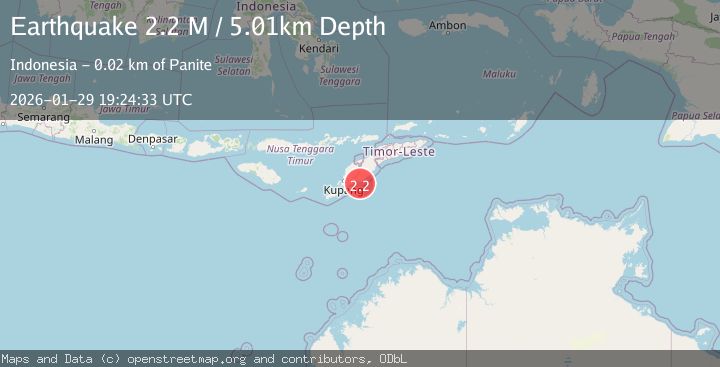
A 2.1 magnitude earthquake struck on Timor Region, at Thu, 29 Jan 2026 19:24:34 GMT. Depth: 10km. Reviewed by BMKG seismologists, this minor quake occurred at a magnitude type of M.
Magnitude
2.1
M
Source
BMKG
Intensity
-
Agency Reports
1 Sources| Source | Magnitude | Depth | Time |
|---|---|---|---|
| BMKGPrimary | 2.1 | 10 km | 3 hours ago |
Earthquake Details
AutomaticEvent IDbmg2026caqn
Tsunami PotentialNo
Magnitude TypeM
Nearest Places
- Desa Toineke4.4 km
- Tanjung Ela4.6 km
- Oesuenu4.6 km
- Toineke4.9 km
- Noil Muke4.9 km
Comments
Join the discussion about this event.
Latest Earthquakes
3.1Mag
NORTH ISLAND OF NEW ZEALAND
Time4 hours ago
Depth18.60 km
SourceGNS (Automatic)
1.3Mag
3 km SE of The Geysers, CA
Time4 hours ago
Depth2.14 km
SourceUSGS (Automatic)
2.6Mag
WESTERN TURKEY
Time4 hours ago
Depth8.60 km
SourceKOERI (Automatic)
2.5Mag
KERKIRA REGION, GREECE
Time4 hours ago
Depth15.00 km
SourceIGEO (Automatic)
3.2Mag
CRETE, GREECE
Time4 hours ago
Depth54.60 km
SourceNOA (Automatic)
Nearby Earthquakes
3.3Mag
Timor Region
Time4 days ago
Depth5.21 km
SourceBMKG (Automatic)
2.8Mag
TIMOR REGION, INDONESIA
Time4 days ago
Depth26.00 km
SourceBMKG (Automatic)
3.9Mag
Timor Region
Time4 days ago
Depth48.21 km
SourceBMKG (Automatic)
2.6Mag
Timor Region
Time2 days ago
Depth35.26 km
SourceBMKG (Automatic)
3.1Mag
Timor Region
Time1 day ago
Depth6.99 km
SourceBMKG (Automatic)