Earthquake Northern Molucca Sea
Thu, 29 Jan 2026 02:11:45 GMT
Time5 hours ago
Location
1.2427, 126.1526
Depth
15.0 KM
Event Summary
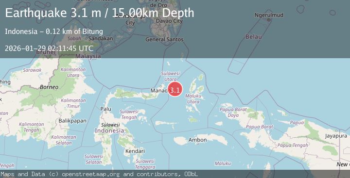
A 3.1 magnitude earthquake struck on Northern Molucca Sea, at Thu, 29 Jan 2026 02:11:45 GMT. Depth: 14.978908km. Reviewed by BMKG seismologists, this minor quake occurred at a magnitude type of M.
Magnitude
3.1
M
Source
BMKG
Intensity
-
Agency Reports
1 Sources| Source | Magnitude | Depth | Time |
|---|---|---|---|
| BMKGPrimary | 3.1 | 15 km | 5 hours ago |
Earthquake Details
AutomaticEvent IDbmg2026bzim
Tsunami PotentialNo
Magnitude TypeM
Nearest Places
- Kelurahan Perum Bersatu24.7 km
- Pasirputih24.9 km
- Tanjung Geranomaderi25.8 km
- Kelurahan Lelewi26.7 km
- Kelurahan Mayau26.8 km
Comments
Join the discussion about this event.
Latest Earthquakes
3.2Mag
Sulawesi, Indonesia
Time5 hours ago
Depth5.27 km
SourceBMKG (Automatic)
1.9Mag
NORTHERN ITALY
Time6 hours ago
Depth1.00 km
SourceLDG (Automatic)
3.4Mag
Minahassa Peninsula, Sulawesi
Time6 hours ago
Depth15.68 km
SourceBMKG (Automatic)
3.2Mag
COSTA RICA
Time6 hours ago
Depth39.00 km
SourceINET (Automatic)
1.3Mag
WESTERN TURKEY
Time6 hours ago
Depth4.60 km
SourceAFAD (Automatic)
Nearby Earthquakes
3.1Mag
Northern Molucca Sea
Time1 day ago
Depth31.75 km
SourceBMKG (Automatic)
4.7Mag
Northern Molucca Sea
Time6 days ago
Depth23.34 km
SourceBMKG (Automatic)
3.1Mag
Northern Molucca Sea
Time1 day ago
Depth31.63 km
SourceBMKG (Automatic)
2.8Mag
Northern Molucca Sea
Time18 hours ago
Depth6.77 km
SourceBMKG (Automatic)
3.4Mag
Northern Molucca Sea
Time16 hours ago
Depth30.75 km
SourceBMKG (Automatic)