Earthquake Minahassa Peninsula, Sulawesi
Fri, 30 Jan 2026 14:25:39 GMT
Time3 hours ago
Location
0.0411, 124.0011
Depth
20.9 KM
Event Summary
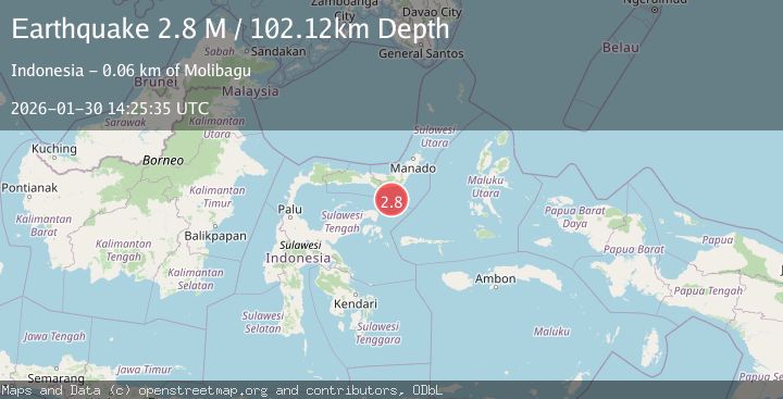
A 2.6 magnitude earthquake struck on Minahassa Peninsula, Sulawesi, at Fri, 30 Jan 2026 14:25:39 GMT. Depth: 20.873289km. Reviewed by BMKG seismologists, this minor quake occurred at a magnitude type of M.
Magnitude
2.6
M
Source
BMKG
Intensity
-
Agency Reports
1 Sources| Source | Magnitude | Depth | Time |
|---|---|---|---|
| BMKGPrimary | 2.6 | 21 km | 3 hours ago |
Earthquake Details
AutomaticEvent IDbmg2026cccd
Tsunami PotentialNo
Magnitude TypeM
Nearest Places
- Gorontalo Basin32.4 km
- Wulungiyo Ponii35.1 km
- Dutula Tangagah35.4 km
- Impodnya Bilantungan35.5 km
- Impodnya Salongo35.5 km
Comments
Join the discussion about this event.
Latest Earthquakes
2.5Mag
Timor Region
Time3 hours ago
Depth13.32 km
SourceBMKG (Automatic)
1.5Mag
2 km SW of Hollister, CA
Time3 hours ago
Depth8.65 km
SourceUSGS (Automatic)
3.0Mag
MORO GULF, MINDANAO, PHILIPPINES
Time3 hours ago
Depth8.00 km
SourcePIVS (Automatic)
3.1Mag
SOUTH ISLAND OF NEW ZEALAND
Time3 hours ago
Depth87.70 km
SourceGNS (Automatic)
2.3Mag
Timor Region
Time3 hours ago
Depth59.59 km
SourceBMKG (Automatic)
Nearby Earthquakes
3.0Mag
Minahassa Peninsula, Sulawesi
Time6 days ago
Depth55.68 km
SourceBMKG (Automatic)
3.3Mag
Minahassa Peninsula, Sulawesi
Time2 days ago
Depth90.69 km
SourceBMKG (Automatic)
3.4Mag
Minahassa Peninsula, Sulawesi
Time1 day ago
Depth42.59 km
SourceBMKG (Automatic)
3.9Mag
Minahassa Peninsula, Sulawesi
Time3 days ago
Depth203.73 km
SourceBMKG (Automatic)
2.9Mag
Minahassa Peninsula, Sulawesi
Time6 days ago
Depth95.96 km
SourceBMKG (Automatic)