Earthquake Timor Region
Fri, 30 Jan 2026 14:22:40 GMT
Time1 hour ago
Location
-10.2388, 124.0285
Depth
13.3 KM
Event Summary
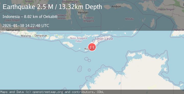
A 2.5 magnitude earthquake struck on Timor Region, at Fri, 30 Jan 2026 14:22:40 GMT. Depth: 13.32422km. Reviewed by BMKG seismologists, this minor quake occurred at a magnitude type of M.
Magnitude
2.5
M
Source
BMKG
Intensity
-
Agency Reports
1 Sources| Source | Magnitude | Depth | Time |
|---|---|---|---|
| BMKGPrimary | 2.5 | 13 km | 1 hour ago |
Earthquake Details
AutomaticEvent IDbmg2026cccb
Tsunami PotentialNo
Magnitude TypeM
Nearest Places
- Kuananisa0.3 km
- Noe Haen0.4 km
- Noe Noni0.5 km
- Noehaen0.8 km
- Desa Pakubaun0.8 km
Comments
Join the discussion about this event.
Latest Earthquakes
1.5Mag
2 km SW of Hollister, CA
Time1 hour ago
Depth8.65 km
SourceUSGS (Automatic)
3.0Mag
MORO GULF, MINDANAO, PHILIPPINES
Time1 hour ago
Depth8.00 km
SourcePIVS (Automatic)
3.1Mag
SOUTH ISLAND OF NEW ZEALAND
Time2 hours ago
Depth87.70 km
SourceGNS (Automatic)
2.3Mag
Timor Region
Time2 hours ago
Depth59.59 km
SourceBMKG (Automatic)
2.4Mag
ISLAND OF HAWAII, HAWAII
Time2 hours ago
Depth29.90 km
SourceHV (Automatic)
Nearby Earthquakes
3.3Mag
Timor Region
Time5 days ago
Depth5.21 km
SourceBMKG (Automatic)
2.8Mag
TIMOR REGION, INDONESIA
Time5 days ago
Depth26.00 km
SourceBMKG (Automatic)
2.2Mag
Timor Region
Time20 hours ago
Depth5.01 km
SourceBMKG (Automatic)
3.9Mag
Timor Region
Time5 days ago
Depth48.21 km
SourceBMKG (Automatic)
2.6Mag
Timor Region
Time3 days ago
Depth35.26 km
SourceBMKG (Automatic)