Earthquake 17 km ESE of Anza, CA
Sat, 31 Jan 2026 06:25:26 GMT
Time1 hour ago
Location
33.5040, -116.5057
Depth
11.7 KM
Event Summary
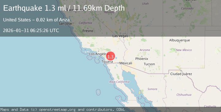
A 1.3 magnitude earthquake struck on 17 km ESE of Anza, CA, at Sat, 31 Jan 2026 06:25:26 GMT. Depth: 11.6899995803833km. Reviewed by USGS seismologists, this minor quake occurred at a magnitude type of ml.
Magnitude
1.3
ml
Source
USGS
Intensity
-
Agency Reports
1 Sources| Source | Magnitude | Depth | Time |
|---|---|---|---|
| USGSPrimary | 1.3 | 12 km | 1 hour ago |
Earthquake Details
AutomaticEvent IDusgs_ci41177071
Tsunami PotentialNo
Magnitude Typeml
Nearest Places
- Medicine Canyon2.5 km
- Garnet Queen Creek3.3 km
- White Wash3.8 km
- Mountain Home Spring4.4 km
- Coyote Creek4.6 km
Comments
Join the discussion about this event.
Latest Earthquakes
0.3Mag
12 km ENE of Cloverdale, CA
Time4 minutes ago
Depth1.97 km
SourceUSGS (Automatic)
0.7Mag
15 km SE of Julian, CA
Time10 minutes ago
Depth10.28 km
SourceUSGS (Automatic)
1.7Mag
10 km ENE of Goldfield, Nevada
Time12 minutes ago
Depth0.03 km
SourceUSGS (Automatic)
3.5Mag
ANTOFAGASTA, CHILE
Time12 minutes ago
Depth100.00 km
SourceCSN (Automatic)
3.3Mag
Minahassa Peninsula, Sulawesi
Time16 minutes ago
Depth5.00 km
SourceBMKG (Automatic)
Nearby Earthquakes
1.9Mag
16 km ESE of Anza, CA
Time6 days ago
Depth13.37 km
SourceUSGS (Automatic)
1.4Mag
17 km ESE of Anza, CA
Time6 days ago
Depth13.29 km
SourceUSGS (Automatic)
2.3Mag
21 km SSW of La Quinta, CA
Time6 days ago
Depth9.31 km
SourceUSGS (Automatic)
1.4Mag
23 km SSW of La Quinta, CA
Time4 days ago
Depth14.11 km
SourceUSGS (Automatic)
1.8Mag
12 km SSE of Anza, CA
Time5 days ago
Depth8.58 km
SourceUSGS (Automatic)