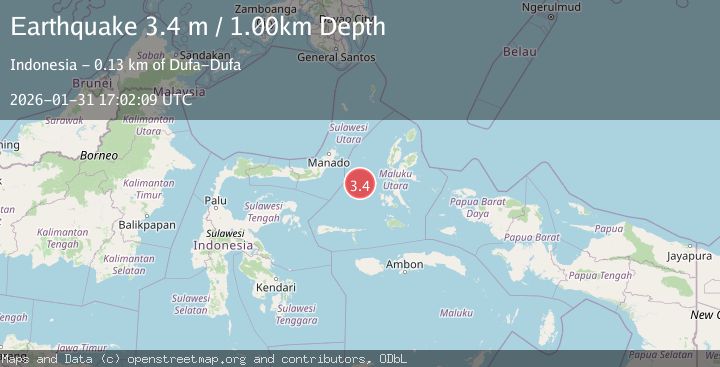
Earthquake Northern Molucca Sea
Sat, 31 Jan 2026 17:02:14 GMT
Time10 hours ago
Location
0.2822, 126.4457
Depth
68.1 KM
Event Summary
A 3.2 magnitude earthquake struck on Northern Molucca Sea, at Sat, 31 Jan 2026 17:02:14 GMT. Depth: 68.119087km. Reviewed by BMKG seismologists, this minor quake occurred at a magnitude type of M.
Magnitude
3.2
M
Source
BMKG
Intensity
-
Agency Reports
1 Sources| Source | Magnitude | Depth | Time |
|---|---|---|---|
| BMKGPrimary | 3.2 | 68 km | 10 hours ago |
Earthquake Details
AutomaticEvent IDbmg2026cecv
Tsunami PotentialNo
Magnitude TypeM
Nearest Places
- Ternate Trough34.5 km
- Terumbugara52.3 km
- Maluku Sea55.2 km
- Pulau Kotaboa74.3 km
- Pulau Goweba75.0 km
Comments
Join the discussion about this event.
Latest Earthquakes
3.0Mag
South of Sumbawa, Indonesia
Time10 hours ago
Depth0.00 km
SourceBMKG (Automatic)
0.8Mag
4 km NNW of Four Mile Road, Alaska
Time10 hours ago
Depth19.10 km
SourceUSGS (Automatic)
1.7Mag
35 km SSE of Dyer, Nevada
Time10 hours ago
Depth2.19 km
SourceUSGS (Automatic)
1.1Mag
13 km ENE of Cloverdale, CA
Time10 hours ago
Depth2.69 km
SourceUSGS (Automatic)
2.4Mag
Sulawesi, Indonesia
Time11 hours ago
Depth6.22 km
SourceBMKG (Automatic)
Nearby Earthquakes
3.6Mag
Northern Molucca Sea
Time1 day ago
Depth10.00 km
SourceBMKG (Automatic)
3.7Mag
Northern Molucca Sea
Time1 day ago
Depth60.98 km
SourceBMKG (Automatic)
3.0Mag
Northern Molucca Sea
Time6 days ago
Depth25.04 km
SourceBMKG (Automatic)
3.1Mag
Northern Molucca Sea
Time6 days ago
Depth27.94 km
SourceBMKG (Automatic)
2.9Mag
Halmahera, Indonesia
Time6 days ago
Depth115.57 km
SourceBMKG (Automatic)