Earthquake Bali Sea
Sat, 31 Jan 2026 17:05:42 GMT
Time10 hours ago
Location
-7.8695, 117.3590
Depth
18.3 KM
Event Summary
A 2.3 magnitude earthquake struck on Bali Sea, at Sat, 31 Jan 2026 17:05:42 GMT. Depth: 18.286469km. Reviewed by BMKG seismologists, this minor quake occurred at a magnitude type of M.
Magnitude
2.3
M
Source
BMKG
Intensity
-
Agency Reports
1 Sources| Source | Magnitude | Depth | Time |
|---|---|---|---|
| BMKGPrimary | 2.3 | 18 km | 10 hours ago |
Earthquake Details
AutomaticEvent IDbmg2026cecy
Tsunami PotentialNo
Magnitude TypeM
Nearest Places
- Gosong Sakunci18.6 km
- Pulau Sadapur20.2 km
- Gosong Sadapur28.3 km
- Desa Bajo Medang30.0 km
- Desa Bugis Medang30.2 km
Comments
Join the discussion about this event.
Latest Earthquakes
2.6Mag
Flores Region, Indonesia
Time10 hours ago
Depth123.61 km
SourceBMKG (Automatic)
3.4Mag
Northern Molucca Sea
Time10 hours ago
Depth1.11 km
SourceBMKG (Automatic)
3.0Mag
South of Sumbawa, Indonesia
Time10 hours ago
Depth0.00 km
SourceBMKG (Automatic)
0.8Mag
4 km NNW of Four Mile Road, Alaska
Time10 hours ago
Depth19.10 km
SourceUSGS (Automatic)
1.7Mag
35 km SSE of Dyer, Nevada
Time10 hours ago
Depth2.19 km
SourceUSGS (Automatic)
Nearby Earthquakes
2.3Mag
Bali Sea
Time1 week ago
Depth10.00 km
SourceBMKG (Automatic)
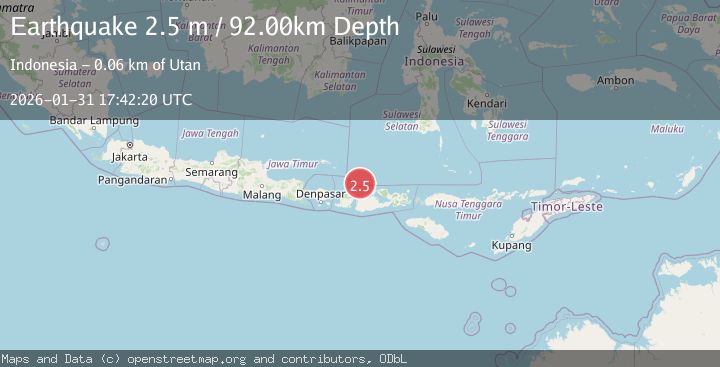
2.5Mag
Bali Sea
Time2 days ago
Depth22.43 km
SourceBMKG (Automatic)
2.3Mag
Bali Sea
Time12 hours ago
Depth18.72 km
SourceBMKG (Automatic)
2.3Mag
Bali Sea
Time1 week ago
Depth10.00 km
SourceBMKG (Automatic)
2.3Mag
Bali Sea
Time1 day ago
Depth10.00 km
SourceBMKG (Automatic)