Earthquake Northern Sumatra, Indonesia
Sat, 31 Jan 2026 19:59:51 GMT
Time1 hour ago
Location
4.1949, 97.4314
Depth
5.0 KM
Event Summary
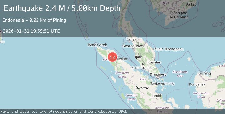
A 2.4 magnitude earthquake struck on Northern Sumatra, Indonesia, at Sat, 31 Jan 2026 19:59:51 GMT. Depth: 5km. Reviewed by BMKG seismologists, this minor quake occurred at a magnitude type of M.
Magnitude
2.4
M
Source
BMKG
Intensity
-
Agency Reports
1 Sources| Source | Magnitude | Depth | Time |
|---|---|---|---|
| BMKGPrimary | 2.4 | 5 km | 1 hour ago |
Earthquake Details
AutomaticEvent IDbmg2026ceir
Tsunami PotentialNo
Magnitude TypeM
Nearest Places
- Gunung Lojang1.4 km
- Gunung Gemiring2.3 km
- Gunung Lembu3.0 km
- Gunung Aber3.3 km
- Gunung Anu4.3 km
Comments
Join the discussion about this event.
Latest Earthquakes
2.6Mag
GREECE
Time1 hour ago
Depth8.60 km
SourceNOA (Automatic)
2.4Mag
Savu Sea
Time2 hours ago
Depth109.71 km
SourceBMKG (Automatic)
1.6Mag
94 km WNW of Yakutat, Alaska
Time2 hours ago
Depth22.60 km
SourceUSGS (Automatic)
2.5Mag
OFFSHORE VALPARAISO, CHILE
Time2 hours ago
Depth38.50 km
SourceCSN (Automatic)
2.7Mag
ANTOFAGASTA, CHILE
Time2 hours ago
Depth96.40 km
SourceCSN (Automatic)
Nearby Earthquakes
2.9Mag
Northern Sumatra, Indonesia
Time3 hours ago
Depth5.00 km
SourceBMKG (Automatic)
2.7Mag
Northern Sumatra, Indonesia
Time4 days ago
Depth0.60 km
SourceBMKG (Automatic)
2.2Mag
Northern Sumatra, Indonesia
Time1 day ago
Depth10.00 km
SourceBMKG (Automatic)
2.2Mag
Northern Sumatra, Indonesia
Time1 week ago
Depth1.65 km
SourceBMKG (Automatic)
2.2Mag
Northern Sumatra, Indonesia
Time1 day ago
Depth13.04 km
SourceBMKG (Automatic)