Earthquake 94 km WNW of Yakutat, Alaska
Sat, 31 Jan 2026 19:41:58 GMT
Time2 hours ago
Location
59.9720, -141.1770
Depth
22.6 KM
Event Summary
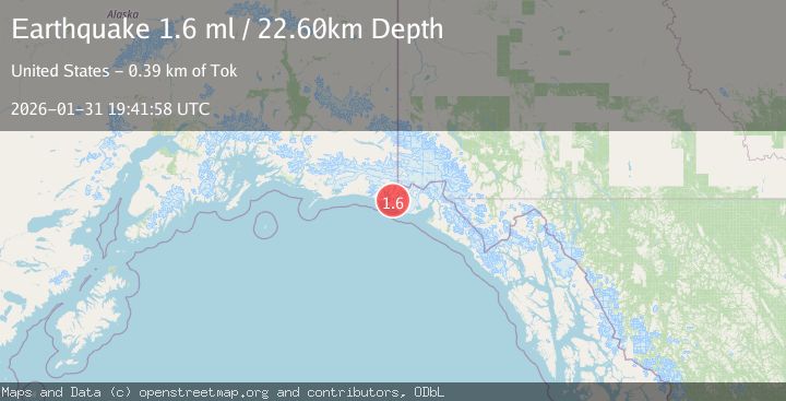
A 1.6 magnitude earthquake struck on 94 km WNW of Yakutat, Alaska, at Sat, 31 Jan 2026 19:41:58 GMT. Depth: 22.6km. Reviewed by USGS seismologists, this minor quake occurred at a magnitude type of ml.
Magnitude
1.6
ml
Source
USGS
Intensity
-
Agency Reports
1 Sources| Source | Magnitude | Depth | Time |
|---|---|---|---|
| USGSPrimary | 1.6 | 23 km | 2 hours ago |
Earthquake Details
AutomaticEvent IDusgs_ak2026ceoyyf
Tsunami PotentialNo
Magnitude Typeml
Nearest Places
- Lake Caetani4.5 km
- Caetani River5.2 km
- Gull Island10.3 km
- Chaix Hills10.3 km
- Kichyatt Point12.0 km
Comments
Join the discussion about this event.
Latest Earthquakes
4.4Mag
Near North Coast of West Papua
Time1 hour ago
Depth70.10 km
SourceBMKG (Automatic)
2.4Mag
Northern Sumatra, Indonesia
Time1 hour ago
Depth5.00 km
SourceBMKG (Automatic)
2.6Mag
GREECE
Time1 hour ago
Depth8.60 km
SourceNOA (Automatic)
2.4Mag
Savu Sea
Time2 hours ago
Depth109.71 km
SourceBMKG (Automatic)
2.5Mag
OFFSHORE VALPARAISO, CHILE
Time2 hours ago
Depth38.50 km
SourceCSN (Automatic)
Nearby Earthquakes
2.6Mag
96 km WNW of Yakutat, Alaska
Time1 week ago
Depth4.10 km
SourceUSGS (Automatic)
3.5Mag
SOUTHERN ALASKA
Time2 days ago
Depth21.80 km
SourceAK (Automatic)
1.9Mag
88 km NW of Yakutat, Alaska
Time21 hours ago
Depth17.80 km
SourceUSGS (Automatic)
2.1Mag
111 km WNW of Yakutat, Alaska
Time1 week ago
Depth8.00 km
SourceUSGS (Automatic)
2.2Mag
110 km NW of Yakutat, Alaska
Time1 week ago
Depth16.90 km
SourceUSGS (Automatic)