Earthquake Minahassa Peninsula, Sulawesi
Sat, 31 Jan 2026 21:38:59 GMT
Time3 days ago
Location
-0.4953, 123.3340
Depth
10.0 KM
Event Summary
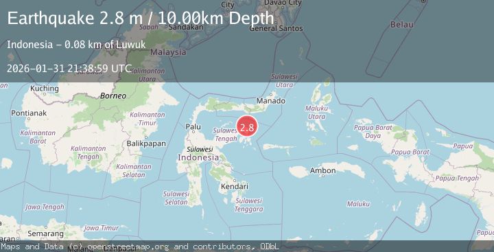
A 2.8 magnitude earthquake struck on Minahassa Peninsula, Sulawesi, at Sat, 31 Jan 2026 21:38:59 GMT. Depth: 10km. Reviewed by BMKG seismologists, this minor quake occurred at a magnitude type of M.
Magnitude
2.8
M
Source
BMKG
Intensity
-
Agency Reports
1 Sources| Source | Magnitude | Depth | Time |
|---|---|---|---|
| BMKGPrimary | 2.8 | 10 km | 3 days ago |
Earthquake Details
AutomaticEvent IDbmg2026cely
Tsunami PotentialNo
Magnitude TypeM
Nearest Places
- Pulau Tangkuladi12.3 km
- Kaunyo Malik12.4 km
- Kaunyo Bombon12.7 km
- Binsil Satu12.7 km
- Pulau Wantawaluk12.8 km
Comments
Join the discussion about this event.
Latest Earthquakes
2.0Mag
18 km WSW of Johannesburg, CA
Time7 minutes ago
Depth4.58 km
SourceUSGS (Automatic)
1.5Mag
18 km N of Indio, CA
Time13 minutes ago
Depth9.27 km
SourceUSGS (Automatic)
1.3Mag
4 km SE of San Ramon, CA
Time18 minutes ago
Depth7.43 km
SourceUSGS (Automatic)
1.8Mag
25 km W of Garden City, Texas
Time26 minutes ago
Depth7.72 km
SourceUSGS (Automatic)
1.4Mag
26 km NW of Ocotillo, CA
Time30 minutes ago
Depth10.03 km
SourceUSGS (Automatic)
Nearby Earthquakes
3.1Mag
Minahassa Peninsula, Sulawesi
Time1 week ago
Depth5.00 km
SourceBMKG (Automatic)
2.9Mag
Minahassa Peninsula, Sulawesi
Time2 days ago
Depth19.78 km
SourceBMKG (Automatic)
4.3Mag
Minahassa Peninsula, Sulawesi
Time1 week ago
Depth10.00 km
SourceBMKG (Automatic)
2.7Mag
Minahassa Peninsula, Sulawesi
Time1 week ago
Depth10.00 km
SourceBMKG (Automatic)
2.9Mag
Minahassa Peninsula, Sulawesi
Time1 week ago
Depth5.00 km
SourceBMKG (Automatic)