Earthquake 26 km NW of Ocotillo, CA
Wed, 04 Feb 2026 13:00:21 GMT
Time1 hour ago
Location
32.8718, -116.2175
Depth
10.0 KM
Event Summary
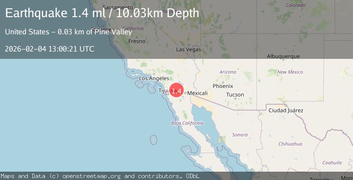
A 1.4 magnitude earthquake struck on 26 km NW of Ocotillo, CA, at Wed, 04 Feb 2026 13:00:21 GMT. Depth: 10.0299997329712km. Reviewed by USGS seismologists, this minor quake occurred at a magnitude type of ml.
Magnitude
1.4
ml
Source
USGS
Intensity
-
Agency Reports
1 Sources| Source | Magnitude | Depth | Time |
|---|---|---|---|
| USGSPrimary | 1.4 | 10 km | 1 hour ago |
Earthquake Details
AutomaticEvent IDusgs_ci41391504
Tsunami PotentialNo
Magnitude Typeml
Nearest Places
- Indian Gorge0.4 km
- North Grove0.9 km
- Marys Grove1.0 km
- Surprise Canyon Grove1.3 km
- Mountain Palm Springs Area1.4 km
Comments
Join the discussion about this event.
Latest Earthquakes
1.3Mag
26 km NW of Ocotillo, CA
Time3 minutes ago
Depth10.06 km
SourceUSGS (Automatic)
3.5Mag
OFF E. COAST OF N. ISLAND, N.Z.
Time14 minutes ago
Depth243.20 km
SourceGNS (Automatic)
3.1Mag
South of Sumbawa, Indonesia
Time21 minutes ago
Depth37.44 km
SourceBMKG (Automatic)
3.0Mag
Northern Sumatra, Indonesia
Time25 minutes ago
Depth3.00 km
SourceBMKG (Automatic)
2.2Mag
62 km W of Tyonek, Alaska
Time28 minutes ago
Depth113.70 km
SourceUSGS (Automatic)
Nearby Earthquakes
1.3Mag
26 km NW of Ocotillo, CA
Time3 minutes ago
Depth10.06 km
SourceUSGS (Automatic)
1.1Mag
26 km WNW of Ocotillo, CA
Time3 days ago
Depth14.24 km
SourceUSGS (Automatic)
1.1Mag
28 km SSW of Ocotillo Wells, CA
Time1 day ago
Depth8.27 km
SourceUSGS (Automatic)
1.1Mag
17 km NW of Ocotillo, CA
Time1 day ago
Depth11.53 km
SourceUSGS (Automatic)
1.2Mag
13 km ESE of Pine Valley, CA
Time3 days ago
Depth14.83 km
SourceUSGS (Automatic)