Earthquake Halmahera, Indonesia
Mon, 02 Feb 2026 04:26:46 GMT
Time20 hours ago
Location
1.6503, 127.9168
Depth
122.3 KM
Event Summary
A 2.2 magnitude earthquake struck on Halmahera, Indonesia, at Mon, 02 Feb 2026 04:26:46 GMT. Depth: 122.320168km. Reviewed by BMKG seismologists, this minor quake occurred at a magnitude type of M.
Magnitude
2.2
M
Source
BMKG
Intensity
-
Agency Reports
1 Sources| Source | Magnitude | Depth | Time |
|---|---|---|---|
| BMKGPrimary | 2.2 | 122 km | 20 hours ago |
Earthquake Details
AutomaticEvent IDbmg2026cgux
Tsunami PotentialNo
Magnitude TypeM
Nearest Places
- Pegunungan Tobelo1.5 km
- Gunung Kua1.9 km
- Gunung Togohi2.2 km
- Gunung Kotae2.5 km
- Kecamatan Tobelo Tengah3.0 km
Comments
Join the discussion about this event.
Latest Earthquakes
1.6Mag
48 km SSW of Cantwell, Alaska
Time20 hours ago
Depth68.10 km
SourceUSGS (Automatic)
2.8Mag
Southern Sumatra, Indonesia
Time20 hours ago
Depth73.10 km
SourceBMKG (Automatic)
1.1Mag
37 km NW of Stanton, Texas
Time20 hours ago
Depth4.03 km
SourceUSGS (Automatic)
3.6Mag
WESTERN XIZANG
Time21 hours ago
Depth145.40 km
SourceNDI (Automatic)
1.4Mag
CENTRAL TURKEY
Time21 hours ago
Depth7.00 km
SourceEMSC (Automatic)
Nearby Earthquakes
4.5Mag
Halmahera, Indonesia
Time1 week ago
Depth4.78 km
SourceBMKG (Automatic)
2.7Mag
HALMAHERA, INDONESIA
Time1 week ago
Depth65.00 km
SourceBMKG (Automatic)
2.6Mag
Halmahera, Indonesia
Time3 days ago
Depth121.03 km
SourceBMKG (Automatic)
2.5Mag
Halmahera, Indonesia
Time1 week ago
Depth109.88 km
SourceBMKG (Automatic)
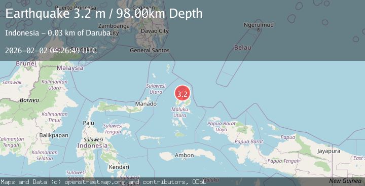
3.2Mag
Northern Molucca Sea
Time3 days ago
Depth227.49 km
SourceBMKG (Automatic)