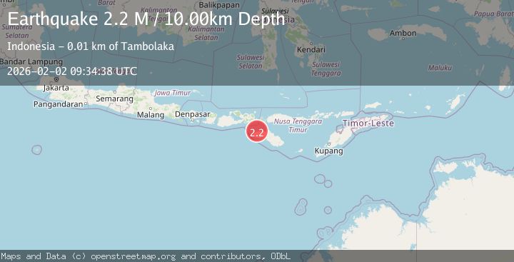
Earthquake Flores Region, Indonesia
Mon, 02 Feb 2026 08:50:56 GMT
Time14 hours ago
Location
-8.9466, 120.0001
Depth
10.0 KM
Event Summary
A 2.1 magnitude earthquake struck on Flores Region, Indonesia, at Mon, 02 Feb 2026 08:50:56 GMT. Depth: 10km. Reviewed by BMKG seismologists, this minor quake occurred at a magnitude type of M.
Magnitude
2.1
M
Source
BMKG
Intensity
-
Agency Reports
1 Sources| Source | Magnitude | Depth | Time |
|---|---|---|---|
| BMKGPrimary | 2.1 | 10 km | 14 hours ago |
Earthquake Details
AutomaticEvent IDbmg2026chdp
Tsunami PotentialNo
Magnitude TypeM
Nearest Places
- Lesser Sunda Islands5.9 km
- Toro Keritamese12.7 km
- Toro Nangabere13.8 km
- Teluk Nangalili13.8 km
- Nanga Bere14.0 km
Comments
Join the discussion about this event.
Latest Earthquakes
1.2Mag
28 km NE of Four Mile Road, Alaska
Time14 hours ago
Depth5.00 km
SourceUSGS (Automatic)
2.0Mag
Northern Sumatra, Indonesia
Time14 hours ago
Depth1.55 km
SourceBMKG (Automatic)
2.6Mag
Java, Indonesia
Time14 hours ago
Depth23.96 km
SourceBMKG (Automatic)
2.4Mag
Java, Indonesia
Time15 hours ago
Depth32.58 km
SourceBMKG (Automatic)
1.7Mag
59 km S of Whites City, New Mexico
Time15 hours ago
Depth3.98 km
SourceUSGS (Automatic)
Nearby Earthquakes
3.1Mag
Flores Region, Indonesia
Time3 days ago
Depth85.93 km
SourceBMKG (Automatic)
2.6Mag
Sumba Region, Indonesia
Time1 week ago
Depth2.09 km
SourceBMKG (Automatic)
2.1Mag
Flores Region, Indonesia
Time6 days ago
Depth10.00 km
SourceBMKG (Automatic)
2.2Mag
Sumba Region, Indonesia
Time1 week ago
Depth5.00 km
SourceBMKG (Automatic)
2.5Mag
Sumba Region, Indonesia
Time1 week ago
Depth65.25 km
SourceBMKG (Automatic)