Earthquake 28 km NE of Four Mile Road, Alaska
Mon, 02 Feb 2026 08:52:33 GMT
Time12 hours ago
Location
64.8170, -148.7750
Depth
5.0 KM
Event Summary
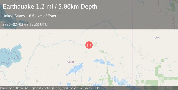
A 1.2 magnitude earthquake struck on 28 km NE of Four Mile Road, Alaska, at Mon, 02 Feb 2026 08:52:33 GMT. Depth: 5km. Reviewed by USGS seismologists, this minor quake occurred at a magnitude type of ml.
Magnitude
1.2
ml
Source
USGS
Intensity
-
Agency Reports
1 Sources| Source | Magnitude | Depth | Time |
|---|---|---|---|
| USGSPrimary | 1.2 | 5 km | 12 hours ago |
Earthquake Details
AutomaticEvent IDusgs_ak2026chkxch
Tsunami PotentialNo
Magnitude Typeml
Nearest Places
- Section House5.7 km
- California5.7 km
- Little Goldstream Creek6.6 km
- Dunbar6.7 km
- Minto Lakes9.6 km
Comments
Join the discussion about this event.
Latest Earthquakes
2.8Mag
Sulawesi, Indonesia
Time12 minutes ago
Depth10.00 km
SourceBMKG (Automatic)
1.5Mag
5 km SE of San Ramon, CA
Time12 minutes ago
Depth6.55 km
SourceUSGS (Automatic)
3.1Mag
NEAR S.E. COAST OF AUSTRALIA
Time13 minutes ago
Depth10.00 km
SourceAUST (Automatic)
3.8Mag
Southern Sumatra, Indonesia
Time14 minutes ago
Depth10.00 km
SourceBMKG (Automatic)
2.4Mag
West Papua Region, Indonesia
Time21 minutes ago
Depth9.36 km
SourceBMKG (Automatic)
Nearby Earthquakes
1.1Mag
31 km NE of Four Mile Road, Alaska
Time19 hours ago
Depth11.60 km
SourceUSGS (Automatic)
1.0Mag
32 km W of Ester, Alaska
Time1 day ago
Depth13.50 km
SourceUSGS (Automatic)
0.7Mag
22 km NE of Four Mile Road, Alaska
Time6 days ago
Depth28.90 km
SourceUSGS (Automatic)
1.3Mag
20 km NNE of Four Mile Road, Alaska
Time4 days ago
Depth5.00 km
SourceUSGS (Automatic)
0.7Mag
28 km N of Four Mile Road, Alaska
Time2 days ago
Depth8.40 km
SourceUSGS (Automatic)