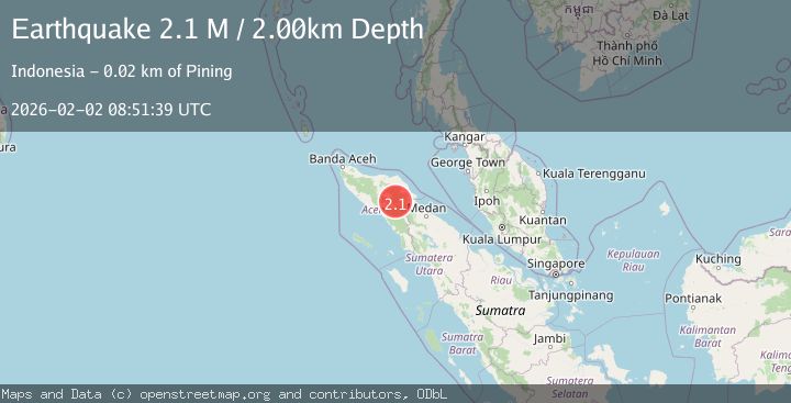
Earthquake Northern Sumatra, Indonesia
Mon, 02 Feb 2026 08:51:38 GMT
Time12 hours ago
Location
4.1734, 97.4450
Depth
1.5 KM
Event Summary
A 2.0 magnitude earthquake struck on Northern Sumatra, Indonesia, at Mon, 02 Feb 2026 08:51:38 GMT. Depth: 1.549562km. Reviewed by BMKG seismologists, this minor quake occurred at a magnitude type of M.
Magnitude
2.0
M
Source
BMKG
Intensity
-
Agency Reports
1 Sources| Source | Magnitude | Depth | Time |
|---|---|---|---|
| BMKGPrimary | 2.0 | 2 km | 12 hours ago |
Earthquake Details
AutomaticEvent IDbmg2026chdq
Tsunami PotentialNo
Magnitude TypeM
Nearest Places
- Gunung Aber0.7 km
- Gunung Lojang1.4 km
- Burni Siluman3.7 km
- Gunung Gemiring4.3 km
- Arul Pepelah4.6 km
Comments
Join the discussion about this event.
Latest Earthquakes
1.2Mag
28 km NE of Four Mile Road, Alaska
Time12 hours ago
Depth5.00 km
SourceUSGS (Automatic)
2.6Mag
Java, Indonesia
Time13 hours ago
Depth23.96 km
SourceBMKG (Automatic)
2.4Mag
Java, Indonesia
Time13 hours ago
Depth32.58 km
SourceBMKG (Automatic)
1.7Mag
59 km S of Whites City, New Mexico
Time13 hours ago
Depth3.98 km
SourceUSGS (Automatic)
3.3Mag
Java, Indonesia
Time13 hours ago
Depth22.06 km
SourceBMKG (Automatic)
Nearby Earthquakes
2.3Mag
Northern Sumatra, Indonesia
Time18 hours ago
Depth1.11 km
SourceBMKG (Automatic)
2.4Mag
Northern Sumatra, Indonesia
Time1 week ago
Depth5.00 km
SourceBMKG (Automatic)
2.2Mag
Northern Sumatra, Indonesia
Time3 days ago
Depth13.04 km
SourceBMKG (Automatic)
2.6Mag
Northern Sumatra, Indonesia
Time4 days ago
Depth5.00 km
SourceBMKG (Automatic)
2.2Mag
Northern Sumatra, Indonesia
Time3 days ago
Depth10.00 km
SourceBMKG (Automatic)