Earthquake Northern Sumatra, Indonesia
Mon, 02 Feb 2026 09:22:54 GMT
Time13 hours ago
Location
2.3724, 99.0611
Depth
128.8 KM
Event Summary
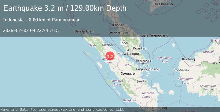
A 3.2 magnitude earthquake struck on Northern Sumatra, Indonesia, at Mon, 02 Feb 2026 09:22:54 GMT. Depth: 128.793213km. Reviewed by BMKG seismologists, this minor quake occurred at a magnitude type of M.
Magnitude
3.2
M
Source
BMKG
Intensity
-
Agency Reports
1 Sources| Source | Magnitude | Depth | Time |
|---|---|---|---|
| BMKGPrimary | 3.2 | 129 km | 13 hours ago |
Earthquake Details
AutomaticEvent IDbmg2026cher
Tsunami PotentialNo
Magnitude TypeM
Nearest Places
- Aek Kalian2.6 km
- Marpaung Dua2.8 km
- Parmonangan2.9 km
- Lumbanbutarburar Dua2.9 km
- Lumban Bul-bul3.0 km
Comments
Join the discussion about this event.
Latest Earthquakes
3.2Mag
BOSNIA AND HERZEGOVINA
Time14 hours ago
Depth10.00 km
SourceRHMS (Automatic)
3.1Mag
Talaud Islands, Indonesia
Time14 hours ago
Depth18.23 km
SourceBMKG (Automatic)
1.3Mag
6 km NNE of Running Springs, CA
Time14 hours ago
Depth7.28 km
SourceUSGS (Automatic)
4.0Mag
CHIAPAS, MEXICO
Time14 hours ago
Depth172.10 km
SourceUNM (Automatic)
3.5Mag
OFF COAST OF VALPARAISO, CHILE
Time14 hours ago
Depth14.60 km
SourceCSN (Automatic)
Nearby Earthquakes
2.7Mag
Northern Sumatra, Indonesia
Time1 week ago
Depth8.59 km
SourceBMKG (Automatic)
2.2Mag
Northern Sumatra, Indonesia
Time4 days ago
Depth11.65 km
SourceBMKG (Automatic)
2.5Mag
Northern Sumatra, Indonesia
Time1 week ago
Depth4.40 km
SourceBMKG (Automatic)
2.3Mag
Northern Sumatra, Indonesia
Time1 week ago
Depth15.30 km
SourceBMKG (Automatic)
2.1Mag
Northern Sumatra, Indonesia
Time3 days ago
Depth3.24 km
SourceBMKG (Automatic)