Earthquake Sumbawa Region, Indonesia
Mon, 02 Feb 2026 10:45:10 GMT
Time14 hours ago
Location
-9.4708, 117.1474
Depth
25.1 KM
Event Summary
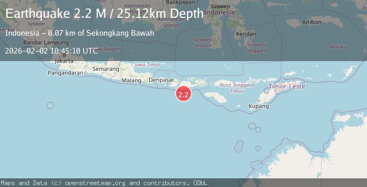
A 2.2 magnitude earthquake struck on Sumbawa Region, Indonesia, at Mon, 02 Feb 2026 10:45:10 GMT. Depth: 25.123222km. Reviewed by BMKG seismologists, this minor quake occurred at a magnitude type of M.
Magnitude
2.2
M
Source
BMKG
Intensity
-
Agency Reports
1 Sources| Source | Magnitude | Depth | Time |
|---|---|---|---|
| BMKGPrimary | 2.2 | 25 km | 14 hours ago |
Earthquake Details
AutomaticEvent IDbmg2026chhj
Tsunami PotentialNo
Magnitude TypeM
Nearest Places
- Tanjung Talonan41.3 km
- Tanu Tanjunglilin42.1 km
- Tanjung Sarang Ode42.8 km
- Tanjung Batubongkang43.1 km
- Boa Momil44.3 km
Comments
Join the discussion about this event.
Latest Earthquakes
2.1Mag
SOUTHERN TEXAS
Time14 hours ago
Depth5.40 km
SourceTX (Automatic)
3.6Mag
GREECE
Time14 hours ago
Depth5.00 km
SourceNOA (Automatic)
3.1Mag
Halmahera, Indonesia
Time14 hours ago
Depth217.68 km
SourceBMKG (Automatic)
1.1Mag
8 km NNW of Pinnacles, CA
Time14 hours ago
Depth5.61 km
SourceUSGS (Automatic)
2.3Mag
Northern Sumatra, Indonesia
Time14 hours ago
Depth3.46 km
SourceBMKG (Automatic)
Nearby Earthquakes
2.5Mag
Sumbawa Region, Indonesia
Time3 days ago
Depth26.99 km
SourceBMKG (Automatic)
2.7Mag
Sumbawa Region, Indonesia
Time1 day ago
Depth31.81 km
SourceBMKG (Automatic)
2.2Mag
Sumbawa Region, Indonesia
Time2 days ago
Depth37.93 km
SourceBMKG (Automatic)
2.4Mag
Sumbawa Region, Indonesia
Time22 hours ago
Depth20.60 km
SourceBMKG (Automatic)
2.3Mag
Sumbawa Region, Indonesia
Time1 day ago
Depth40.80 km
SourceBMKG (Automatic)