Earthquake Northern Sumatra, Indonesia
Mon, 02 Feb 2026 10:16:13 GMT
Time16 hours ago
Location
4.8783, 97.0510
Depth
3.5 KM
Event Summary
A 2.3 magnitude earthquake struck on Northern Sumatra, Indonesia, at Mon, 02 Feb 2026 10:16:13 GMT. Depth: 3.457464km. Reviewed by BMKG seismologists, this minor quake occurred at a magnitude type of M.
Magnitude
2.3
M
Source
BMKG
Intensity
-
Agency Reports
1 Sources| Source | Magnitude | Depth | Time |
|---|---|---|---|
| BMKGPrimary | 2.3 | 3 km | 16 hours ago |
Earthquake Details
AutomaticEvent IDbmg2026chgl
Tsunami PotentialNo
Magnitude TypeM
Nearest Places
- Alur Karang0.7 km
- Gunung Karang1.4 km
- Alur Tusam1.4 km
- Alur Salas1.4 km
- Alur Rio4.2 km
Comments
Join the discussion about this event.
Latest Earthquakes
1.2Mag
SWITZERLAND
Time16 hours ago
Depth-1.00 km
SourceETHZ (Automatic)
2.6Mag
TARAPACA, CHILE
Time16 hours ago
Depth87.10 km
SourceCSN (Automatic)
2.9Mag
HAITI REGION
Time16 hours ago
Depth6.00 km
SourceAYIT (Automatic)
2.4Mag
13 km E of Mammoth Lakes, CA
Time16 hours ago
Depth7.27 km
SourceUSGS (Automatic)
2.3Mag
FRANCE
Time16 hours ago
Depth5.00 km
SourceReNaSS (Automatic)
Nearby Earthquakes
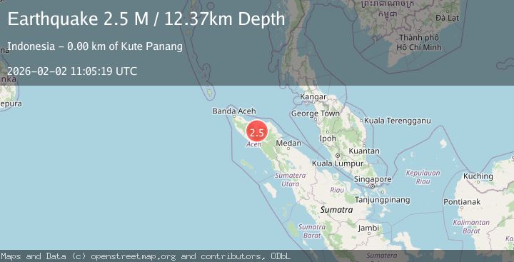
2.5Mag
Northern Sumatra, Indonesia
Time6 days ago
Depth6.53 km
SourceBMKG (Automatic)
2.6Mag
Northern Sumatra, Indonesia
Time1 week ago
Depth10.00 km
SourceBMKG (Automatic)
2.6Mag
NORTHERN SUMATRA, INDONESIA
Time5 days ago
Depth121.00 km
SourceBMKG (Automatic)
3.3Mag
Northern Sumatra, Indonesia
Time6 days ago
Depth10.00 km
SourceBMKG (Automatic)
2.0Mag
Northern Sumatra, Indonesia
Time18 hours ago
Depth13.21 km
SourceBMKG (Automatic)