Earthquake Northern Molucca Sea
Mon, 02 Feb 2026 11:56:53 GMT
Time8 hours ago
Location
1.7253, 126.8305
Depth
15.9 KM
Event Summary
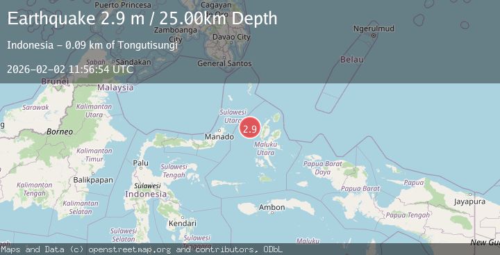
A 2.8 magnitude earthquake struck on Northern Molucca Sea, at Mon, 02 Feb 2026 11:56:53 GMT. Depth: 15.887448km. Reviewed by BMKG seismologists, this minor quake occurred at a magnitude type of M.
Magnitude
2.8
M
Source
BMKG
Intensity
-
Agency Reports
1 Sources| Source | Magnitude | Depth | Time |
|---|---|---|---|
| BMKGPrimary | 2.8 | 16 km | 8 hours ago |
Earthquake Details
AutomaticEvent IDbmg2026chjt
Tsunami PotentialNo
Magnitude TypeM
Nearest Places
- Nyi36.5 km
- Kelurahan Bido64.9 km
- Pulau Mayu66.4 km
- Kecamatan Pulau Batang Dua66.6 km
- Kelurahan Mayau66.6 km
Comments
Join the discussion about this event.
Latest Earthquakes
2.2Mag
NEVADA
Time8 hours ago
Depth2.50 km
SourceNN (Automatic)
3.5Mag
OFFSHORE GUATEMALA
Time8 hours ago
Depth58.00 km
SourceINET (Automatic)
2.1Mag
WESTERN TURKEY
Time8 hours ago
Depth9.00 km
SourceKOERI (Automatic)
2.1Mag
49 km WNW of Beluga, Alaska
Time8 hours ago
Depth103.90 km
SourceUSGS (Automatic)
2.1Mag
CENTRAL TURKEY
Time8 hours ago
Depth4.10 km
SourceKOERI (Automatic)
Nearby Earthquakes
3.8Mag
Northern Molucca Sea
Time6 days ago
Depth106.66 km
SourceBMKG (Automatic)
3.5Mag
Northern Molucca Sea
Time1 day ago
Depth16.30 km
SourceBMKG (Automatic)
3.5Mag
Northern Molucca Sea
Time1 week ago
Depth17.49 km
SourceBMKG (Automatic)
3.1Mag
Halmahera, Indonesia
Time5 days ago
Depth10.16 km
SourceBMKG (Automatic)
2.6Mag
Northern Molucca Sea
Time1 week ago
Depth61.16 km
SourceBMKG (Automatic)