Earthquake Northern Molucca Sea
Sun, 01 Feb 2026 18:12:20 GMT
Time1 day ago
Location
1.4005, 126.7735
Depth
16.3 KM
Event Summary
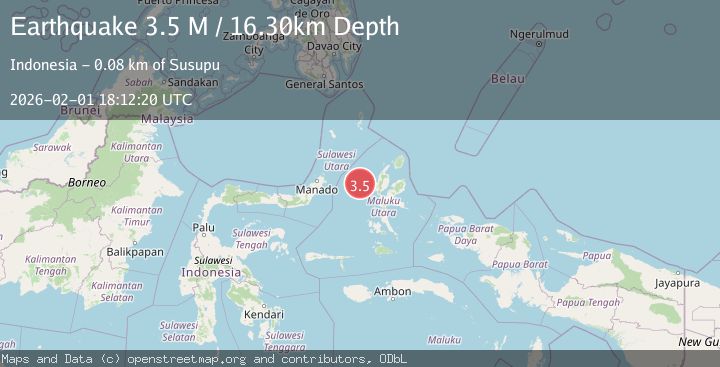
A 3.5 magnitude earthquake struck on Northern Molucca Sea, at Sun, 01 Feb 2026 18:12:20 GMT. Depth: 16.300343km. Reviewed by BMKG seismologists, this minor quake occurred at a magnitude type of M.
Magnitude
3.5
M
Source
BMKG
Intensity
-
Agency Reports
1 Sources| Source | Magnitude | Depth | Time |
|---|---|---|---|
| BMKGPrimary | 3.5 | 16 km | 1 day ago |
Earthquake Details
AutomaticEvent IDbmg2026cgaq
Tsunami PotentialNo
Magnitude TypeM
Nearest Places
- Nyi36.8 km
- Kelurahan Bido42.0 km
- Pulau Mayu43.8 km
- Kecamatan Pulau Batang Dua43.9 km
- Kelurahan Lelewi44.5 km
Comments
Join the discussion about this event.
Latest Earthquakes
2.0Mag
NORTHERN ITALY
Time3 hours ago
Depth5.00 km
SourceLDG (Automatic)
2.1Mag
Sumbawa Region, Indonesia
Time3 hours ago
Depth96.66 km
SourceBMKG (Automatic)
2.0Mag
9 km NE of Coso Junction, CA
Time3 hours ago
Depth2.78 km
SourceUSGS (Automatic)
1.4Mag
NORTHERN ITALY
Time3 hours ago
Depth2.60 km
SourceETHZ (Automatic)
1.4Mag
10 km NW of The Geysers, CA
Time4 hours ago
Depth2.23 km
SourceUSGS (Automatic)
Nearby Earthquakes
2.6Mag
Northern Molucca Sea
Time1 week ago
Depth61.16 km
SourceBMKG (Automatic)
2.9Mag
Northern Molucca Sea
Time3 days ago
Depth15.50 km
SourceBMKG (Automatic)
2.9Mag
Northern Molucca Sea
Time9 hours ago
Depth24.83 km
SourceBMKG (Automatic)
2.7Mag
Northern Molucca Sea
Time1 day ago
Depth17.02 km
SourceBMKG (Automatic)
3.1Mag
Halmahera, Indonesia
Time5 days ago
Depth10.16 km
SourceBMKG (Automatic)