Earthquake Flores Region, Indonesia
Mon, 02 Feb 2026 15:01:32 GMT
Time2 hours ago
Location
-8.1164, 122.5852
Depth
38.9 KM
Event Summary
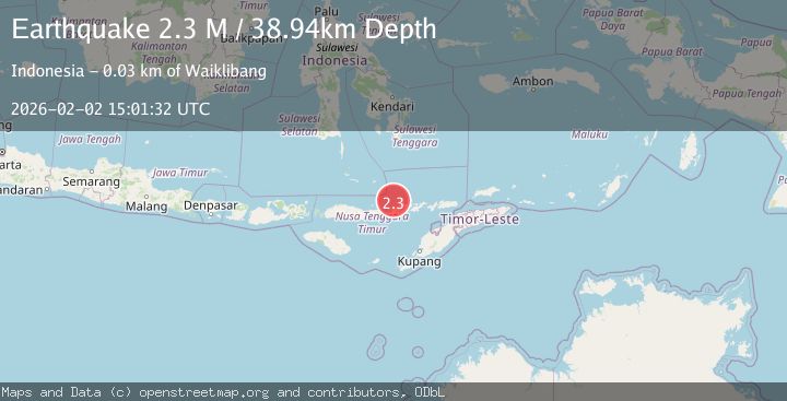
A 2.3 magnitude earthquake struck on Flores Region, Indonesia, at Mon, 02 Feb 2026 15:01:32 GMT. Depth: 38.943272km. Reviewed by BMKG seismologists, this minor quake occurred at a magnitude type of M.
Magnitude
2.3
M
Source
BMKG
Intensity
-
Agency Reports
1 Sources| Source | Magnitude | Depth | Time |
|---|---|---|---|
| BMKGPrimary | 2.3 | 39 km | 2 hours ago |
Earthquake Details
AutomaticEvent IDbmg2026chpw
Tsunami PotentialNo
Magnitude TypeM
Nearest Places
- Tanjung Batupayung19.9 km
- Wai Rogang20.1 km
- Tanjung Oatobi20.6 km
- Teluk Kewuta20.7 km
- Tanjung Watotahik21.4 km
Comments
Join the discussion about this event.
Latest Earthquakes
1.0Mag
20 km NNE of Indio, CA
Time2 hours ago
Depth6.36 km
SourceUSGS (Automatic)
2.5Mag
Java, Indonesia
Time2 hours ago
Depth11.49 km
SourceBMKG (Automatic)
2.2Mag
WESTERN TURKEY
Time2 hours ago
Depth11.10 km
SourceKOERI (Automatic)
3.1Mag
Talaud Islands, Indonesia
Time3 hours ago
Depth20.17 km
SourceBMKG (Automatic)
2.4Mag
Java, Indonesia
Time3 hours ago
Depth25.96 km
SourceBMKG (Automatic)
Nearby Earthquakes
2.0Mag
Flores Region, Indonesia
Time22 hours ago
Depth21.47 km
SourceBMKG (Automatic)
3.6Mag
Banda Sea
Time3 days ago
Depth198.96 km
SourceBMKG (Automatic)
2.8Mag
Flores Region, Indonesia
Time2 days ago
Depth127.63 km
SourceBMKG (Automatic)
2.9Mag
Flores Sea
Time1 week ago
Depth36.13 km
SourceBMKG (Automatic)
2.4Mag
Flores Region, Indonesia
Time1 week ago
Depth21.00 km
SourceBMKG (Automatic)