Earthquake 20 km NNE of Indio, CA
Mon, 02 Feb 2026 14:58:12 GMT
Time4 hours ago
Location
33.8918, -116.1543
Depth
6.4 KM
Event Summary
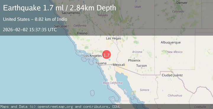
A 1.7 magnitude earthquake struck on 20 km NNE of Indio, CA, at Mon, 02 Feb 2026 14:58:12 GMT. Depth: 6.3600001335144km. Reviewed by USGS seismologists, this minor quake occurred at a magnitude type of ml.
Magnitude
1.7
ml
Source
USGS
Intensity
-
Agency Reports
1 Sources| Source | Magnitude | Depth | Time |
|---|---|---|---|
| USGSPrimary | 1.7 | 3 km | 3 hours ago |
Earthquake Details
AutomaticEvent IDusgs_ci41178167
Tsunami PotentialNo
Magnitude Typeml
Nearest Places
- The Blue Cut2.1 km
- Cabezon Indian Reservation4.3 km
- Keys View4.9 km
- Hidden Gold Mine5.0 km
- Lost Horse Mountain5.3 km
Comments
Join the discussion about this event.
Latest Earthquakes
3.3Mag
New Guinea, Papua New Guinea
Time9 minutes ago
Depth10.00 km
SourceBMKG (Automatic)
2.3Mag
Minahassa Peninsula, Sulawesi
Time18 minutes ago
Depth50.17 km
SourceBMKG (Automatic)
1.2Mag
11 km NE of Julian, CA
Time18 minutes ago
Depth10.31 km
SourceUSGS (Automatic)
2.7Mag
MOLUCCA SEA
Time18 minutes ago
Depth28.00 km
SourceBMKG (Automatic)
2.0Mag
SOUTHERN TEXAS
Time26 minutes ago
Depth10.70 km
SourceTX (Automatic)
Nearby Earthquakes
1.2Mag
20 km NNE of Indio, CA
Time2 days ago
Depth6.12 km
SourceUSGS (Automatic)
1.0Mag
20 km NNE of Indio, CA
Time6 days ago
Depth5.82 km
SourceUSGS (Automatic)
1.3Mag
20 km NNE of Indio, CA
Time1 week ago
Depth6.43 km
SourceUSGS (Automatic)
1.4Mag
19 km NNE of Indio, CA
Time1 day ago
Depth5.15 km
SourceUSGS (Automatic)
1.6Mag
21 km NNE of Indio, CA
Time1 week ago
Depth5.39 km
SourceUSGS (Automatic)