Earthquake New Guinea, Papua New Guinea
Mon, 02 Feb 2026 16:18:06 GMT
Time5 hours ago
Location
-3.9002, 141.4164
Depth
116.1 KM
Event Summary
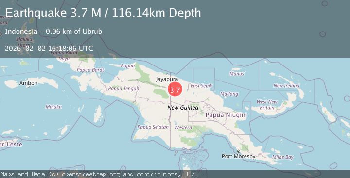
A 3.7 magnitude earthquake struck on New Guinea, Papua New Guinea, at Mon, 02 Feb 2026 16:18:06 GMT. Depth: 116.135506km. Reviewed by BMKG seismologists, this minor quake occurred at a magnitude type of M.
Magnitude
3.7
M
Source
BMKG
Intensity
-
Agency Reports
1 Sources| Source | Magnitude | Depth | Time |
|---|---|---|---|
| BMKGPrimary | 3.7 | 116 km | 5 hours ago |
Earthquake Details
AutomaticEvent IDbmg2026chsj
Tsunami PotentialNo
Magnitude TypeM
Comments
Join the discussion about this event.
Latest Earthquakes
1.4Mag
69 km ENE of Susitna North, Alaska
Time5 hours ago
Depth40.30 km
SourceUSGS (Automatic)
1.1Mag
10 km E of Fox, Alaska
Time6 hours ago
Depth4.00 km
SourceUSGS (Automatic)
2.6Mag
West Papua Region, Indonesia
Time6 hours ago
Depth10.00 km
SourceBMKG (Automatic)
2.6Mag
South of Java, Indonesia
Time6 hours ago
Depth6.67 km
SourceBMKG (Automatic)
2.1Mag
HAWAII REGION, HAWAII
Time6 hours ago
Depth2.60 km
SourceHV (Automatic)
Nearby Earthquakes
3.8Mag
New Guinea, Papua New Guinea
Time5 days ago
Depth10.00 km
SourceBMKG (Automatic)
3.5Mag
New Guinea, Papua New Guinea
Time3 days ago
Depth10.00 km
SourceBMKG (Automatic)
3.7Mag
West Papua, Indonesia
Time6 days ago
Depth73.14 km
SourceBMKG (Automatic)
3.1Mag
West Papua, Indonesia
Time1 week ago
Depth41.57 km
SourceBMKG (Automatic)
2.8Mag
West Papua, Indonesia
Time5 days ago
Depth61.32 km
SourceBMKG (Automatic)