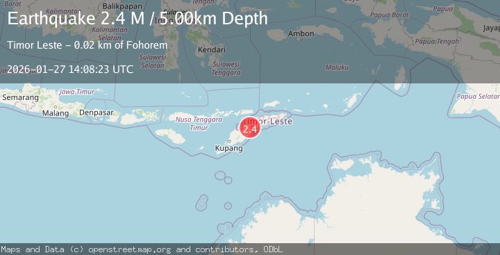
Earthquake Timor Region
Tue, 27 Jan 2026 13:11:29 GMT
Time3 hours ago
Location
-8.8279, 124.2142
Depth
78.5 KM
Event Summary
A 2.2 magnitude earthquake struck on Timor Region, at Tue, 27 Jan 2026 13:11:29 GMT. Depth: 78.456291km. Reviewed by BMKG seismologists, this minor quake occurred at a magnitude type of M.
Magnitude
2.2
M
Source
BMKG
Intensity
-
Agency Reports
1 Sources| Source | Magnitude | Depth | Time |
|---|---|---|---|
| BMKGPrimary | 2.2 | 78 km | 3 hours ago |
Earthquake Details
AutomaticEvent IDbmg2026bwne
Tsunami PotentialNo
Magnitude TypeM
Nearest Places
- Tanjung Bataamin33.2 km
- Tanjung Lahaja33.5 km
- Tanjung Delaki35.0 km
- Tanjung Doranggamma35.7 km
- Delaki35.7 km
Comments
Join the discussion about this event.
Latest Earthquakes
2.3Mag
OKLAHOMA
Time3 hours ago
Depth0.70 km
SourceOK (Automatic)
1.6Mag
NORTHERN ITALY
Time3 hours ago
Depth0.00 km
SourceOGS (Automatic)
2.3Mag
SPAIN
Time3 hours ago
Depth20.90 km
SourceIGN (Automatic)
3.1Mag
ANTOFAGASTA, CHILE
Time3 hours ago
Depth124.10 km
SourceCSN (Automatic)
2.5Mag
Minahassa Peninsula, Sulawesi
Time4 hours ago
Depth29.65 km
SourceBMKG (Automatic)
Nearby Earthquakes
3.3Mag
Timor Region
Time1 day ago
Depth47.49 km
SourceBMKG (Automatic)
2.6Mag
Timor Region
Time2 days ago
Depth83.16 km
SourceBMKG (Automatic)
3.2Mag
Flores Region, Indonesia
Time6 days ago
Depth82.44 km
SourceBMKG (Automatic)
2.7Mag
Flores Region, Indonesia
Time1 day ago
Depth6.99 km
SourceBMKG (Automatic)
2.5Mag
Flores Region, Indonesia
Time6 days ago
Depth51.05 km
SourceBMKG (Automatic)