Earthquake Southern Molucca Sea
Mon, 02 Feb 2026 18:18:37 GMT
Time3 hours ago
Location
-0.0429, 124.9147
Depth
9.0 KM
Event Summary
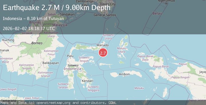
A 2.7 magnitude earthquake struck on Southern Molucca Sea, at Mon, 02 Feb 2026 18:18:37 GMT. Depth: 9.001958km. Reviewed by BMKG seismologists, this minor quake occurred at a magnitude type of M.
Magnitude
2.7
M
Source
BMKG
Intensity
-
Agency Reports
1 Sources| Source | Magnitude | Depth | Time |
|---|---|---|---|
| BMKGPrimary | 2.7 | 9 km | 3 hours ago |
Earthquake Details
AutomaticEvent IDbmg2026chwi
Tsunami PotentialNo
Magnitude TypeM
Nearest Places
- Batu Mandi71.6 km
- Tanjung Flesko72.7 km
- Pulau Lampu73.0 km
- Tanjung Palureoi73.4 km
- Tanjung Payongan74.2 km
Comments
Join the discussion about this event.
Latest Earthquakes
1.7Mag
4 km SE of San Ramon, CA
Time3 hours ago
Depth7.40 km
SourceUSGS (Automatic)
2.2Mag
43 km SE of Denali National Park, Alaska
Time3 hours ago
Depth5.00 km
SourceUSGS (Automatic)
2.3Mag
Northern Sumatra, Indonesia
Time3 hours ago
Depth5.00 km
SourceBMKG (Automatic)
2.8Mag
LA RIOJA, ARGENTINA
Time3 hours ago
Depth10.00 km
SourceNSNA (Automatic)
2.0Mag
NORTHERN ITALY
Time3 hours ago
Depth5.00 km
SourceLDG (Automatic)
Nearby Earthquakes
2.9Mag
MINAHASA, SULAWESI, INDONESIA
Time1 week ago
Depth18.00 km
SourceBMKG (Automatic)
3.5Mag
Southern Molucca Sea
Time9 hours ago
Depth11.57 km
SourceBMKG (Automatic)
3.0Mag
MOLUCCA SEA
Time1 week ago
Depth9.00 km
SourceBMKG (Automatic)
4.3Mag
Southern Molucca Sea
Time1 week ago
Depth5.64 km
SourceBMKG (Automatic)
3.0Mag
Southern Molucca Sea
Time2 days ago
Depth12.21 km
SourceBMKG (Automatic)