Earthquake Bali Sea
Tue, 03 Feb 2026 07:30:14 GMT
Time1 day ago
Location
-7.8608, 117.5489
Depth
13.5 KM
Event Summary
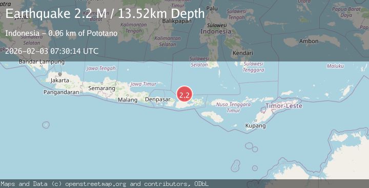
A 2.2 magnitude earthquake struck on Bali Sea, at Tue, 03 Feb 2026 07:30:14 GMT. Depth: 13.51984km. Reviewed by BMKG seismologists, this minor quake occurred at a magnitude type of M.
Magnitude
2.2
M
Source
BMKG
Intensity
-
Agency Reports
1 Sources| Source | Magnitude | Depth | Time |
|---|---|---|---|
| BMKGPrimary | 2.2 | 14 km | 1 day ago |
Earthquake Details
AutomaticEvent IDbmg2026ciwl
Tsunami PotentialNo
Magnitude TypeM
Nearest Places
- Tanjung Sebaru32.4 km
- Tanjung Timor32.5 km
- Sebaru32.6 km
- Pulau Sailus Kecil32.9 km
- Desa Poleonro32.9 km
Comments
Join the discussion about this event.
Latest Earthquakes
0.3Mag
6 km NW of The Geysers, CA
Time6 hours ago
Depth3.41 km
SourceUSGS (Automatic)
1.7Mag
58 km S of Whites City, New Mexico
Time6 hours ago
Depth4.46 km
SourceUSGS (Automatic)
2.0Mag
Southern Sumatra, Indonesia
Time6 hours ago
Depth4.94 km
SourceBMKG (Automatic)
2.1Mag
NEAR SOUTH COAST OF FRANCE
Time6 hours ago
Depth5.00 km
SourceReNaSS (Automatic)
2.5Mag
ANTOFAGASTA, CHILE
Time7 hours ago
Depth100.80 km
SourceCSN (Automatic)
Nearby Earthquakes
2.3Mag
Bali Sea
Time5 days ago
Depth10.00 km
SourceBMKG (Automatic)
2.5Mag
Bali Sea
Time6 days ago
Depth22.43 km
SourceBMKG (Automatic)
2.1Mag
Bali Sea
Time1 day ago
Depth10.00 km
SourceBMKG (Automatic)
2.2Mag
Bali Sea
Time1 week ago
Depth23.43 km
SourceBMKG (Automatic)
2.3Mag
Bali Sea
Time1 week ago
Depth10.00 km
SourceBMKG (Automatic)