Earthquake Southern Sumatra, Indonesia
Wed, 04 Feb 2026 11:16:29 GMT
Time2 hours ago
Location
-0.4569, 100.2616
Depth
4.9 KM
Event Summary
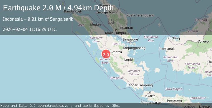
A 2.0 magnitude earthquake struck on Southern Sumatra, Indonesia, at Wed, 04 Feb 2026 11:16:29 GMT. Depth: 4.942199km. Reviewed by BMKG seismologists, this minor quake occurred at a magnitude type of M.
Magnitude
2.0
M
Source
BMKG
Intensity
-
Agency Reports
1 Sources| Source | Magnitude | Depth | Time |
|---|---|---|---|
| BMKGPrimary | 2.0 | 5 km | 2 hours ago |
Earthquake Details
AutomaticEvent IDbmg2026ckzk
Tsunami PotentialNo
Magnitude TypeM
Nearest Places
- Nagari Malalak Selatan2.2 km
- Batang Airlubukhitam3.0 km
- Nagari Tandikek Utara3.3 km
- Air Paraman3.5 km
- Duriantalang4.0 km
Comments
Join the discussion about this event.
Latest Earthquakes
2.6Mag
Ceram Sea
Time2 hours ago
Depth8.28 km
SourceBMKG (Automatic)
1.1Mag
WESTERN TURKEY
Time2 hours ago
Depth7.00 km
SourceAFAD (Automatic)
2.8Mag
Ceram Sea
Time2 hours ago
Depth10.00 km
SourceBMKG (Automatic)
2.2Mag
FRANCE
Time2 hours ago
Depth5.00 km
SourceReNaSS (Automatic)
2.2Mag
FRANCE
Time2 hours ago
Depth5.00 km
SourceReNaSS (Automatic)
Nearby Earthquakes
2.4Mag
Southern Sumatra, Indonesia
Time1 day ago
Depth10.00 km
SourceBMKG (Automatic)
3.5Mag
Southern Sumatra, Indonesia
Time3 days ago
Depth2.71 km
SourceBMKG (Automatic)
2.1Mag
Southern Sumatra, Indonesia
Time5 days ago
Depth17.85 km
SourceBMKG (Automatic)
2.7Mag
Northern Sumatra, Indonesia
Time6 days ago
Depth14.71 km
SourceBMKG (Automatic)
2.4Mag
Northern Sumatra, Indonesia
Time12 hours ago
Depth9.60 km
SourceBMKG (Automatic)