Earthquake West Papua Region, Indonesia
Tue, 03 Feb 2026 15:29:08 GMT
Time23 hours ago
Location
-2.6039, 134.2533
Depth
10.0 KM
Event Summary
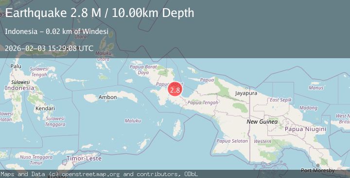
A 2.8 magnitude earthquake struck on West Papua Region, Indonesia, at Tue, 03 Feb 2026 15:29:08 GMT. Depth: 10km. Reviewed by BMKG seismologists, this minor quake occurred at a magnitude type of M.
Magnitude
2.8
M
Source
BMKG
Intensity
-
Agency Reports
1 Sources| Source | Magnitude | Depth | Time |
|---|---|---|---|
| BMKGPrimary | 2.8 | 10 km | 23 hours ago |
Earthquake Details
AutomaticEvent IDbmg2026cjmg
Tsunami PotentialNo
Magnitude TypeM
Nearest Places
- Kampung Werianggi4.6 km
- Distrik Windesi4.9 km
- Kampung Sandey5.0 km
- Gunung Tarimanati10.7 km
- Teluk Kario11.0 km
Comments
Join the discussion about this event.
Latest Earthquakes
2.2Mag
Minahassa Peninsula, Sulawesi
Time23 hours ago
Depth89.93 km
SourceBMKG (Automatic)
2.8Mag
FRANCE
Time23 hours ago
Depth0.00 km
SourceReNaSS (Automatic)
2.2Mag
Sumbawa Region, Indonesia
Time23 hours ago
Depth10.00 km
SourceBMKG (Automatic)
2.3Mag
GERMANY
Time1 day ago
Depth1.00 km
SourceGFZ (Automatic)
1.2Mag
13 km N of La Verne, CA
Time1 day ago
Depth19.41 km
SourceUSGS (Automatic)
Nearby Earthquakes
2.4Mag
West Papua Region, Indonesia
Time5 days ago
Depth10.00 km
SourceBMKG (Automatic)
2.9Mag
West Papua Region, Indonesia
Time1 week ago
Depth10.68 km
SourceBMKG (Automatic)
3.3Mag
West Papua Region, Indonesia
Time1 week ago
Depth10.00 km
SourceBMKG (Automatic)
2.5Mag
West Papua Region, Indonesia
Time4 days ago
Depth10.00 km
SourceBMKG (Automatic)
3.6Mag
West Papua Region, Indonesia
Time1 week ago
Depth10.00 km
SourceBMKG (Automatic)