Earthquake Northern Sumatra, Indonesia
Tue, 03 Feb 2026 22:26:52 GMT
Time13 hours ago
Location
4.1756, 97.5199
Depth
3.0 KM
Event Summary
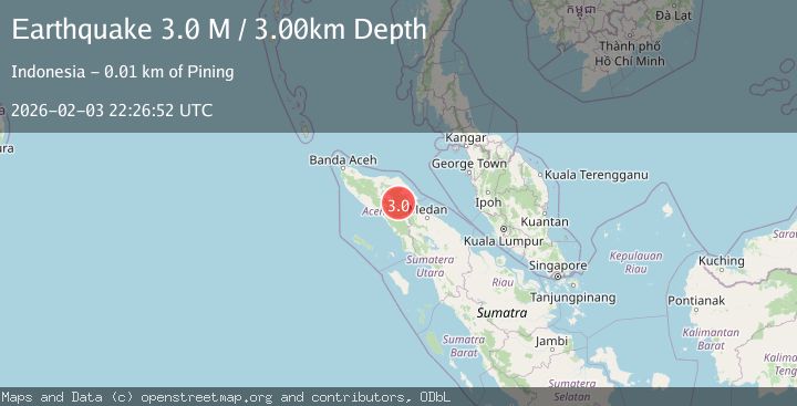
A 3.0 magnitude earthquake struck on Northern Sumatra, Indonesia, at Tue, 03 Feb 2026 22:26:52 GMT. Depth: 3km. Reviewed by BMKG seismologists, this minor quake occurred at a magnitude type of M.
Magnitude
3.0
M
Source
BMKG
Intensity
-
Agency Reports
1 Sources| Source | Magnitude | Depth | Time |
|---|---|---|---|
| BMKGPrimary | 3.0 | 3 km | 13 hours ago |
Earthquake Details
AutomaticEvent IDbmg2026ckaa
Tsunami PotentialNo
Magnitude TypeM
Nearest Places
- Arul Pepelah2.0 km
- Burni Pasir Putih2.3 km
- Arul Simpang Dua2.6 km
- Aer Putih4.0 km
- Arul Pepelah4.5 km
Comments
Join the discussion about this event.
Latest Earthquakes
4.6Mag
South of Bali, Indonesia
Time14 hours ago
Depth10.00 km
SourceBMKG (Automatic)
2.8Mag
2 km W of Parkfield, CA
Time14 hours ago
Depth5.42 km
SourceUSGS (Automatic)
1.8Mag
7 km WSW of Henderson, Nevada
Time14 hours ago
Depth15.32 km
SourceUSGS (Automatic)
2.8Mag
SICILY, ITALY
Time14 hours ago
Depth16.70 km
SourceINGV (Automatic)
2.9Mag
SAN JUAN, ARGENTINA
Time14 hours ago
Depth148.00 km
SourceNSNA (Automatic)
Nearby Earthquakes
2.2Mag
Northern Sumatra, Indonesia
Time1 day ago
Depth5.00 km
SourceBMKG (Automatic)
2.8Mag
Northern Sumatra, Indonesia
Time1 week ago
Depth5.00 km
SourceBMKG (Automatic)
2.2Mag
Northern Sumatra, Indonesia
Time3 days ago
Depth2.19 km
SourceBMKG (Automatic)
2.3Mag
Northern Sumatra, Indonesia
Time1 day ago
Depth5.00 km
SourceBMKG (Automatic)
2.4Mag
Northern Sumatra, Indonesia
Time1 week ago
Depth5.00 km
SourceBMKG (Automatic)