Earthquake Northern Sumatra, Indonesia
Sun, 01 Feb 2026 11:12:28 GMT
Time3 days ago
Location
4.1240, 97.4853
Depth
2.2 KM
Event Summary
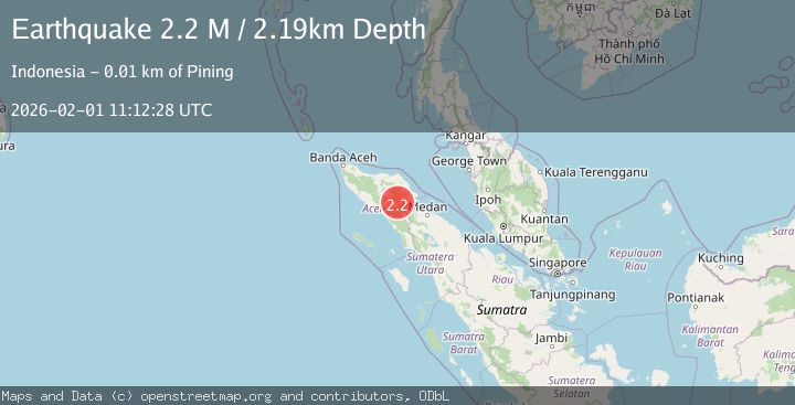
A 2.2 magnitude earthquake struck on Northern Sumatra, Indonesia, at Sun, 01 Feb 2026 11:12:28 GMT. Depth: 2.186561km. Reviewed by BMKG seismologists, this minor quake occurred at a magnitude type of M.
Magnitude
2.2
M
Source
BMKG
Intensity
-
Agency Reports
1 Sources| Source | Magnitude | Depth | Time |
|---|---|---|---|
| BMKGPrimary | 2.2 | 2 km | 3 days ago |
Earthquake Details
AutomaticEvent IDbmg2026cfmu
Tsunami PotentialNo
Magnitude TypeM
Nearest Places
- Aer Putih3.1 km
- Waih Gajah5.4 km
- Burni Pasir Putih5.5 km
- Gampong Gajah6.4 km
- Gunung Aber6.7 km
Comments
Join the discussion about this event.
Latest Earthquakes
1.8Mag
10 km ESE of Pearsall, Texas
Time6 minutes ago
Depth9.85 km
SourceUSGS (Automatic)
2.7Mag
NORTHERN ITALY
Time15 minutes ago
Depth9.00 km
SourceEMSC (Automatic)
2.3Mag
Minahassa Peninsula, Sulawesi
Time19 minutes ago
Depth80.65 km
SourceBMKG (Automatic)
1.4Mag
EASTERN TURKEY
Time25 minutes ago
Depth10.30 km
SourceAFAD (Automatic)
3.4Mag
TARAPACA, CHILE
Time25 minutes ago
Depth47.20 km
SourceCSN (Automatic)
Nearby Earthquakes
4.3Mag
Northern Sumatra, Indonesia
Time2 weeks ago
Depth10.00 km
SourceBMKG (Automatic)
2.8Mag
Northern Sumatra, Indonesia
Time1 week ago
Depth5.00 km
SourceBMKG (Automatic)
2.2Mag
Northern Sumatra, Indonesia
Time1 day ago
Depth5.00 km
SourceBMKG (Automatic)
2.6Mag
Northern Sumatra, Indonesia
Time5 days ago
Depth5.00 km
SourceBMKG (Automatic)
3.4Mag
Northern Sumatra, Indonesia
Time4 days ago
Depth3.00 km
SourceBMKG (Automatic)