Earthquake Sumbawa Region, Indonesia
Wed, 04 Feb 2026 01:17:30 GMT
Time11 hours ago
Location
-9.3818, 117.1299
Depth
31.4 KM
Event Summary
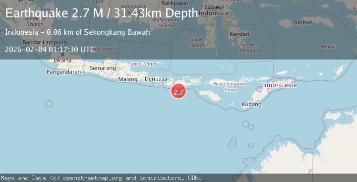
A 2.7 magnitude earthquake struck on Sumbawa Region, Indonesia, at Wed, 04 Feb 2026 01:17:30 GMT. Depth: 31.425207km. Reviewed by BMKG seismologists, this minor quake occurred at a magnitude type of M.
Magnitude
2.7
M
Source
BMKG
Intensity
-
Agency Reports
1 Sources| Source | Magnitude | Depth | Time |
|---|---|---|---|
| BMKGPrimary | 2.7 | 31 km | 11 hours ago |
Earthquake Details
AutomaticEvent IDbmg2026ckfr
Tsunami PotentialNo
Magnitude TypeM
Nearest Places
- Tanjung Talonan31.3 km
- Tanu Tanjunglilin32.0 km
- Tanjung Sarang Ode32.9 km
- Tanjung Batubongkang33.2 km
- Boa Momil34.4 km
Comments
Join the discussion about this event.
Latest Earthquakes
2.5Mag
Flores Region, Indonesia
Time11 hours ago
Depth10.13 km
SourceBMKG (Automatic)
2.5Mag
WESTERN TURKEY
Time11 hours ago
Depth7.00 km
SourceAFAD (Automatic)
1.7Mag
15 km S of Tres Pinos, CA
Time11 hours ago
Depth2.12 km
SourceUSGS (Automatic)
2.2Mag
CENTRAL TURKEY
Time11 hours ago
Depth7.00 km
SourceAFAD (Automatic)
2.6Mag
OFFSHORE VALPARAISO, CHILE
Time11 hours ago
Depth42.70 km
SourceCSN (Automatic)
Nearby Earthquakes
2.3Mag
Sumbawa Region, Indonesia
Time3 days ago
Depth40.80 km
SourceBMKG (Automatic)
2.7Mag
Sumbawa Region, Indonesia
Time1 day ago
Depth31.91 km
SourceBMKG (Automatic)
2.5Mag
Sumbawa Region, Indonesia
Time4 days ago
Depth26.99 km
SourceBMKG (Automatic)
2.3Mag
Sumbawa Region, Indonesia
Time5 days ago
Depth24.84 km
SourceBMKG (Automatic)
2.2Mag
Sumbawa Region, Indonesia
Time3 days ago
Depth37.93 km
SourceBMKG (Automatic)