Earthquake 15 km S of Tres Pinos, CA
Wed, 04 Feb 2026 00:58:37 GMT
Time12 hours ago
Location
36.6582, -121.3185
Depth
2.1 KM
Event Summary
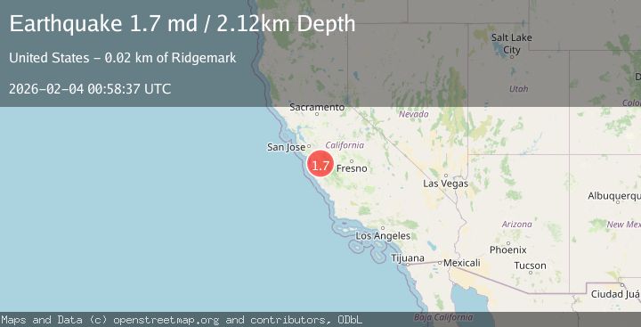
A 1.7 magnitude earthquake struck on 15 km S of Tres Pinos, CA, at Wed, 04 Feb 2026 00:58:37 GMT. Depth: 2.11999988555908km. Reviewed by USGS seismologists, this minor quake occurred at a magnitude type of md.
Magnitude
1.7
md
Source
USGS
Intensity
-
Agency Reports
1 Sources| Source | Magnitude | Depth | Time |
|---|---|---|---|
| USGSPrimary | 1.7 | 2 km | 12 hours ago |
Earthquake Details
AutomaticEvent IDusgs_nc75308007
Tsunami PotentialNo
Magnitude Typemd
Nearest Places
- Three Troughs Canyon3.2 km
- Alvisa Canyon3.3 km
- Matarana Gulch4.0 km
- Enz Vineyards4.3 km
- McPhails Peak4.3 km
Comments
Join the discussion about this event.
Latest Earthquakes
2.4Mag
Flores Region, Indonesia
Time3 minutes ago
Depth103.54 km
SourceBMKG (Automatic)
2.1Mag
Sulawesi, Indonesia
Time5 minutes ago
Depth10.03 km
SourceBMKG (Automatic)
2.1Mag
Java, Indonesia
Time9 minutes ago
Depth119.72 km
SourceBMKG (Automatic)
2.0Mag
18 km WSW of Johannesburg, CA
Time26 minutes ago
Depth4.58 km
SourceUSGS (Automatic)
1.5Mag
18 km N of Indio, CA
Time32 minutes ago
Depth9.27 km
SourceUSGS (Automatic)
Nearby Earthquakes
2.6Mag
14 km S of Tres Pinos, CA
Time2 weeks ago
Depth6.66 km
SourceUSGS (Automatic)
2.1Mag
CENTRAL CALIFORNIA
Time6 days ago
Depth5.40 km
SourceNC (Automatic)
2.4Mag
CENTRAL CALIFORNIA
Time1 week ago
Depth3.10 km
SourceNC (Automatic)
2.0Mag
14 km S of Tres Pinos, CA
Time1 week ago
Depth2.18 km
SourceUSGS (Automatic)
1.6Mag
17 km S of Tres Pinos, CA
Time1 week ago
Depth5.25 km
SourceUSGS (Automatic)