Earthquake Flores Region, Indonesia
Wed, 04 Feb 2026 01:07:23 GMT
Time12 hours ago
Location
-8.6913, 123.8905
Depth
10.1 KM
Event Summary
A 2.0 magnitude earthquake struck on Flores Region, Indonesia, at Wed, 04 Feb 2026 01:07:23 GMT. Depth: 10.126134km. Reviewed by BMKG seismologists, this minor quake occurred at a magnitude type of M.
Magnitude
2.0
M
Source
BMKG
Intensity
-
Agency Reports
1 Sources| Source | Magnitude | Depth | Time |
|---|---|---|---|
| BMKGPrimary | 2.0 | 10 km | 12 hours ago |
Earthquake Details
AutomaticEvent IDbmg2026ckfi
Tsunami PotentialNo
Magnitude TypeM
Nearest Places
- Tanjung Boda23.5 km
- Tanjung Delaki24.7 km
- Watu Ile25.9 km
- Tanjung Aliadung26.0 km
- Tanjung Ile26.3 km
Comments
Join the discussion about this event.
Latest Earthquakes
1.7Mag
15 km S of Tres Pinos, CA
Time12 hours ago
Depth2.12 km
SourceUSGS (Automatic)
2.2Mag
CENTRAL TURKEY
Time12 hours ago
Depth7.00 km
SourceAFAD (Automatic)
2.6Mag
OFFSHORE VALPARAISO, CHILE
Time12 hours ago
Depth42.70 km
SourceCSN (Automatic)
1.3Mag
24 km W of Garden City, Texas
Time13 hours ago
Depth4.72 km
SourceUSGS (Automatic)
5.2Mag
Tanimbar Islands Region, Indonesia
Time13 hours ago
Depth101.19 km
SourceBMKG (Automatic)
Nearby Earthquakes
3.1Mag
Flores Region, Indonesia
Time1 week ago
Depth70.54 km
SourceBMKG (Automatic)
2.6Mag
Timor Region
Time1 week ago
Depth83.16 km
SourceBMKG (Automatic)
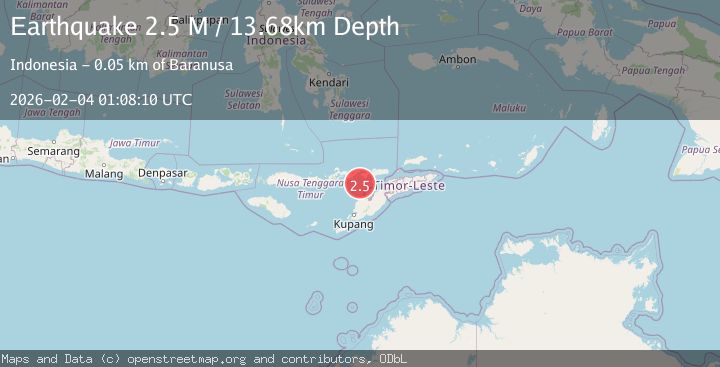
2.5Mag
Timor Region
Time4 days ago
Depth99.66 km
SourceBMKG (Automatic)
2.7Mag
Flores Region, Indonesia
Time1 week ago
Depth6.99 km
SourceBMKG (Automatic)
3.2Mag
Flores Region, Indonesia
Time2 weeks ago
Depth82.44 km
SourceBMKG (Automatic)