Earthquake Northern Molucca Sea
Wed, 04 Feb 2026 05:51:14 GMT
Time3 hours ago
Location
0.0574, 126.7128
Depth
34.3 KM
Event Summary
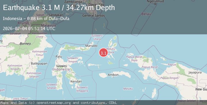
A 3.1 magnitude earthquake struck on Northern Molucca Sea, at Wed, 04 Feb 2026 05:51:14 GMT. Depth: 34.271622km. Reviewed by BMKG seismologists, this minor quake occurred at a magnitude type of M.
Magnitude
3.1
M
Source
BMKG
Intensity
-
Agency Reports
1 Sources| Source | Magnitude | Depth | Time |
|---|---|---|---|
| BMKGPrimary | 3.1 | 34 km | 3 hours ago |
Earthquake Details
AutomaticEvent IDbmg2026ckor
Tsunami PotentialNo
Magnitude TypeM
Nearest Places
- Terumbugara27.0 km
- Pulau Kotaboa44.0 km
- Pulau Goweba44.7 km
- Pulau Sebawoho45.0 km
- Pulau Tuapen Selatan45.1 km
Comments
Join the discussion about this event.
Latest Earthquakes
3.9Mag
43 km ENE of Kodiak, Alaska
Time3 hours ago
Depth6.20 km
SourceUSGS (Automatic)
2.1Mag
107 km NW of Yakutat, Alaska
Time3 hours ago
Depth12.00 km
SourceUSGS (Automatic)
2.9Mag
Banda Sea
Time3 hours ago
Depth32.04 km
SourceBMKG (Automatic)
2.8Mag
Sulawesi, Indonesia
Time3 hours ago
Depth7.74 km
SourceBMKG (Automatic)
0.8Mag
WESTERN TURKEY
Time3 hours ago
Depth7.00 km
SourceAFAD (Automatic)
Nearby Earthquakes
2.9Mag
Halmahera, Indonesia
Time1 week ago
Depth115.57 km
SourceBMKG (Automatic)
3.4Mag
Northern Molucca Sea
Time3 days ago
Depth1.11 km
SourceBMKG (Automatic)
2.8Mag
MOLUCCA SEA
Time2 days ago
Depth23.00 km
SourceBMKG (Automatic)
3.1Mag
Northern Molucca Sea
Time1 week ago
Depth27.94 km
SourceBMKG (Automatic)
3.0Mag
Northern Molucca Sea
Time1 week ago
Depth25.04 km
SourceBMKG (Automatic)