Earthquake 107 km NW of Yakutat, Alaska
Wed, 04 Feb 2026 05:45:59 GMT
Time2 hours ago
Location
60.0990, -141.3090
Depth
12.0 KM
Event Summary
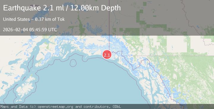
A 2.1 magnitude earthquake struck on 107 km NW of Yakutat, Alaska, at Wed, 04 Feb 2026 05:45:59 GMT. Depth: 12km. Reviewed by USGS seismologists, this minor quake occurred at a magnitude type of ml.
Magnitude
2.1
ml
Source
USGS
Intensity
-
Agency Reports
1 Sources| Source | Magnitude | Depth | Time |
|---|---|---|---|
| USGSPrimary | 2.1 | 12 km | 2 hours ago |
Earthquake Details
AutomaticEvent IDusgs_ak2026ckwebx
Tsunami PotentialNo
Magnitude Typeml
Nearest Places
- Taan Fiord3.4 km
- Kageet Point4.9 km
- Karr Hills5.4 km
- Daisy Glacier8.1 km
- Tsaa Fiord8.3 km
Comments
Join the discussion about this event.
Latest Earthquakes
2.6Mag
Seram, Indonesia
Time2 hours ago
Depth10.00 km
SourceBMKG (Automatic)
2.8Mag
Sulawesi, Indonesia
Time2 hours ago
Depth7.74 km
SourceBMKG (Automatic)
1.1Mag
14 km NE of Ridgecrest, CA
Time2 hours ago
Depth7.20 km
SourceUSGS (Automatic)
1.6Mag
7 km SE of Big Spring, Texas
Time2 hours ago
Depth4.05 km
SourceUSGS (Automatic)
2.8Mag
Near North Coast of West Papua
Time2 hours ago
Depth10.00 km
SourceBMKG (Automatic)
Nearby Earthquakes
3.5Mag
SOUTHERN ALASKA
Time5 days ago
Depth21.80 km
SourceAK (Automatic)
2.2Mag
110 km NW of Yakutat, Alaska
Time1 week ago
Depth16.90 km
SourceUSGS (Automatic)
2.1Mag
111 km WNW of Yakutat, Alaska
Time1 week ago
Depth8.00 km
SourceUSGS (Automatic)
2.6Mag
96 km WNW of Yakutat, Alaska
Time1 week ago
Depth4.10 km
SourceUSGS (Automatic)
1.6Mag
94 km WNW of Yakutat, Alaska
Time3 days ago
Depth22.60 km
SourceUSGS (Automatic)