Earthquake Minahassa Peninsula, Sulawesi
Wed, 04 Feb 2026 12:05:13 GMT
Time1 hour ago
Location
-0.2404, 123.0066
Depth
80.7 KM
Event Summary
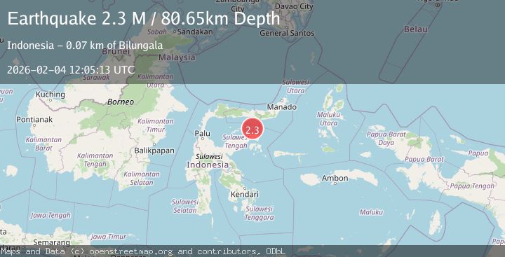
A 2.3 magnitude earthquake struck on Minahassa Peninsula, Sulawesi, at Wed, 04 Feb 2026 12:05:13 GMT. Depth: 80.651077km. Reviewed by BMKG seismologists, this minor quake occurred at a magnitude type of M.
Magnitude
2.3
M
Source
BMKG
Intensity
-
Agency Reports
1 Sources| Source | Magnitude | Depth | Time |
|---|---|---|---|
| BMKGPrimary | 2.3 | 81 km | 1 hour ago |
Earthquake Details
AutomaticEvent IDbmg2026clba
Tsunami PotentialNo
Magnitude TypeM
Nearest Places
- Pulau Sendiri26.4 km
- Pulau Mantawalu Daka32.2 km
- Pulau Mantawalu Ise35.6 km
- Tanjung Awok36.5 km
- Tanjung Awok36.5 km
Comments
Join the discussion about this event.
Latest Earthquakes
0.9Mag
WESTERN TURKEY
Time1 hour ago
Depth7.00 km
SourceAFAD (Automatic)
2.0Mag
6 km SE of Sunol, CA
Time1 hour ago
Depth9.29 km
SourceUSGS (Automatic)
2.1Mag
West Papua Region, Indonesia
Time1 hour ago
Depth15.25 km
SourceBMKG (Automatic)
3.3Mag
VIRGIN ISLANDS REGION
Time1 hour ago
Depth20.70 km
SourcePR (Automatic)
2.9Mag
SALTA, ARGENTINA
Time1 hour ago
Depth206.00 km
SourceNSNA (Automatic)
Nearby Earthquakes
2.4Mag
Minahassa Peninsula, Sulawesi
Time1 week ago
Depth79.94 km
SourceBMKG (Automatic)
2.5Mag
Minahassa Peninsula, Sulawesi
Time3 hours ago
Depth68.70 km
SourceBMKG (Automatic)
3.9Mag
Minahassa Peninsula, Sulawesi
Time1 week ago
Depth29.89 km
SourceBMKG (Automatic)
2.2Mag
Minahassa Peninsula, Sulawesi
Time21 hours ago
Depth89.93 km
SourceBMKG (Automatic)
3.2Mag
Minahassa Peninsula, Sulawesi
Time1 week ago
Depth89.10 km
SourceBMKG (Automatic)